
CARTOGRAPHY CONCEPTS

“Soulard Map of the Missouri and Upper Mississippi, 1802” by William Clark retrieved from: http://lewisandclark13.blogspot.com/2013/12/stage-3-expedition-accomplishments.html
Please navigate to the following link to find information that will answer these questions http://www.edgate.com/lewisandclark/cartography.html
- Can you describe 4 different types of maps and their purposes?
- What is the name of the grid system used in mapping and why is it important?
- Describe how you can predict distance and direction on a map.
- Since there had not been a map available to the corps of Discovery team on their travels across to the northwest, describe the steps and tools they used in order to construct the first modern map of this area.
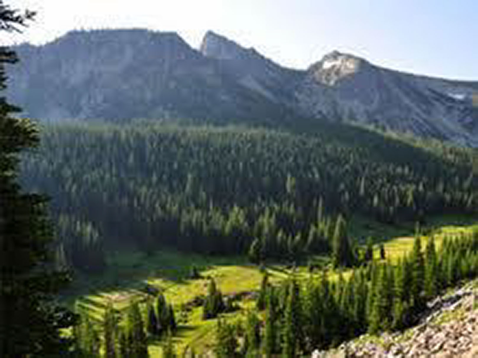
INDIAN COUNTRY
- How did American Indians contribute to the geographical information along the Trail?
- What were the three distinct Indian cultural areas traversed by the Corps of Discovery? Identify individual tribes within those groups and their lifestyles.
- How did the tribes along the Trail describe their scale with respect to time and distance?
MAPPING THE TRAIL
- What gift did the Mandan Chief Shahaka (Big White) share with Clark and what did it show?
- How did the Indians make maps to show Lewis and Clark the way west? Describe each method and provide reasoning for the importance of each type of map.
- Why was it that the tribes who met these strangers were friendly? Were there times/incidences when the expedition could have failed? What were they specifically and tell how the explorers were able to survive?
- What were the events that led to the difficult travel through Lolo Pass? Who greeted the expedition members when they emerged from this part of the Trail and how was the outcome of the expedition affected?
- What was the name of the primary maps prepared by Lewis and Clark? What was unique about these maps and why were they important to the mission of this exploration?
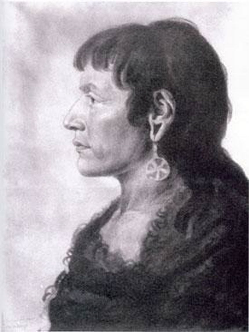
Chief Shahaka. Image Source: http://www.ndstudies.org/resources/IndianStudies/threeaffiliated/leaders_trad_mandan.html
- Compare the navigations instruments used for mapping in 1804 with those available to cartographers today. Provide images of these tools and discuss their relative accuracy in mapping.
- What navigational mistake led to a more difficult passage across the Rocky Mountains? What was the outcome?
FILLING IN THE EMPTY SPACES
- By 1810 Clark was finishing his final map of the Corp of Discovery Trail. Describe contributors to this final product and how the information was included?
- Consider each of the prevailing misconceptions of the western half of the continent and explain how these misconceptions were wrong and what effects the misconceptions had on the outcomes of the expedition in 1804.
- Compare the Aaron Arrowsmith 1802 map with post-expedition maps such as Clark’s map of 1810 and discuss some of the updates that were made by the Corps of Discovery. Include place names that retained their American Indian heritage on the 1810 map. Another resource is the National Park Service Interactive map.