Portland Zoning and Data
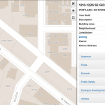
A snapshot of a few relevant resources and datasets available on the City’s website. civic apps open data: GIS files of datasets from various public agencies–everything from building footprints to streetlight/ street tree locations portland maps metadata: good basemap/ satellite images of the city,…