
Selection of Recent and Current Projects

Spatial Distribution of the H1N1 2009 Swine Flu Pandemic in US
As part of an advanced-level applied cartography course with Dr. Brewer, I conducted a project to map the spread of the H1N1 2009 swine flu pandemic in the US by county.

Nomination of Key Works of Frank Lloyd Wright to the UNESCO World Heritage
During my time as the Peter R. Gould Center for Geography Education and Outreach undergraduate intern, the main cartography lab of Penn State Geography, I had the honor of serving as the de facto principal cartographer for the national project to nominate 10 US building designed by famed architect Frank Lloyd Wright.
Healthy Corner Store Access in Philadelphia, PA
This map was constructed as a special assignment for a company to analyze the access to healthy corner stores in Philadelphia by census tract.

Mississippi Tributary Discharge Comparison Map
As part of my research assistantship with Dr. Robert Brooks during spring 2016, I compiled and processed USGS river discharge data to map the 30-year average discharge of tributaries of the Mississippi River.
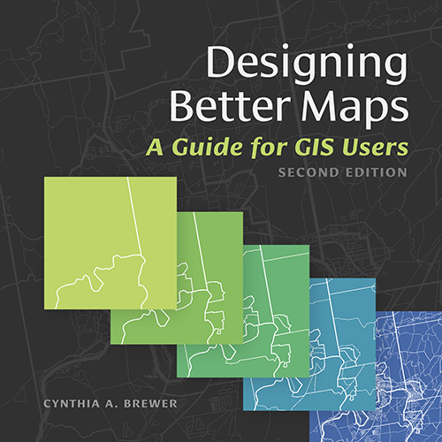
Making of Designing Better Maps: A Guide for GIS Users, Second Edition
As part of my research assistantship with Cindy Brewer, I was involved in the project to update and publish the second edition of her widely used cartographic design book.

The Philly Crash Atlas
As part of a group project for an advanced GIS course in Fall 2015, I worked on the design and implementation of an web map that visualizes road accident incidents in Philadelphia.

Thai Minimum Wage by Province 2017
This dataset is part of a series I am doing which is aimed at translating data originating from the Thai government OpenData portal into English so that it can be utilized by the wider international audience.
Maps to support research on international narcotics cultivation and trade
In March 2017, I produced these maps to support the research by my former colleague at Penn State, Gabriel Tamariz, on the international cultivation and trade of opium poppy and coca bush.

Thai Average Monthly Household Income by Province, 1998 to 2015
This dataset is second in a series I am doing which is aimed at translating data originating from the Thai government OpenData portal into English so that it can be utilized by the wider international audience.

Number of Foreign Buddhist Practitioners in Thailand, 2014
This dataset is third in a series I am doing which is aimed at translating data originating from the Thai government OpenData portal into English so that it can be utilized by the wider international audience.

Maps to support research on indigenous groups in the Ecuadorian Amazon
In the fall of 2018, I produced these maps to support the research by my colleague at UO, Belén Noroña, on indigenous groups in the Ecuadorian Amazon. The maps were produced using ArcGIS and Adobe Illustrator with data sourced from Natural Earth, DIVA-GIS and Esri. These maps were exported from ArcGIS into Adobe Illustrator for manual stylization.