Conservation Planning / GIS Mapping
We do quite a bit of GIS analysis in the Price Science Commons VizLab and Google Earth is a big part of what use and demonstrate in the space. However, we also do our...
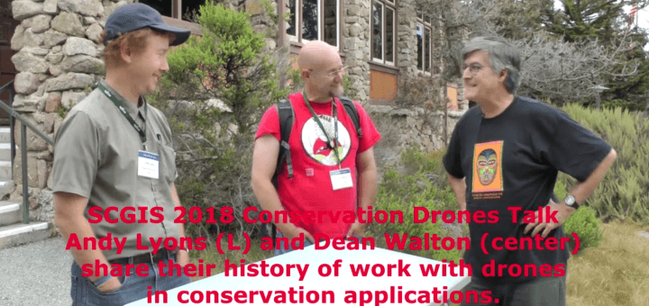
Projects from the DeArmond Makerspace, Price Science Commons, and Dean Walton
We do quite a bit of GIS analysis in the Price Science Commons VizLab and Google Earth is a big part of what use and demonstrate in the space. However, we also do our...
The Price Science Commons has a Phantom IV Pro Quadcopter UAV for university research projects. If you have a need, we might be able to solve your problem so check in with us. Here...
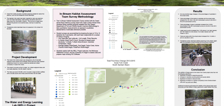
I think the most rewarding project I worked with, here at the Price Science Commons, was one with the students from Thurston High School’s Well Project. The program initially set up by Stuart Perlmeter,...
For the last four years we have been building 3D landscapes to better understand micro-habitats. Here is our very first 3D generated landscape using AgiSoft Photoscan made for a talk on the use...