The Well Project – Teaching data analysis and GIS

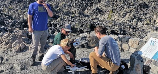
I think the most rewarding project I worked with, here at the Price Science Commons, was one with the students from Thurston High School’s Well Project. The program initially set up by Stuart Perlmeter, past Oregon Academy of Science Educator of the Year, now run by Stephanie Lawless, gets students out in the field collecting water quality data from local streams. The students had all of these data but no way to portray them in a manner that the could transmit the outcomes to the general public. I suggested that they try using a geographical information system to create maps showing off the data. They accepted the challenge and I was invited over to teach ESRI’s ArcMap to them over the course of several visits to the school. The end result was this poster presented at an international conference sponsored by the Society for Conservation GIS with 12 high school students as authors. We partnered with the McKenzie Watershed Council and GIS Librarian Kathy Stroud out of the University of Oregon’s Knight Library to complete the research poster. We also extended our outreach to South Eugene High School where we worked with Julia Harvey’s environmental studies classes and to the Rachel Carson Academy at Churchill High School where I taught students how to use QGIS, an open source GIS Program for mapping.
Thanks go out to Bryan Rebar and the UO STEM CORE Program for seeding funding on this project.


에볼플레이 먹튀검증 안전노리터