
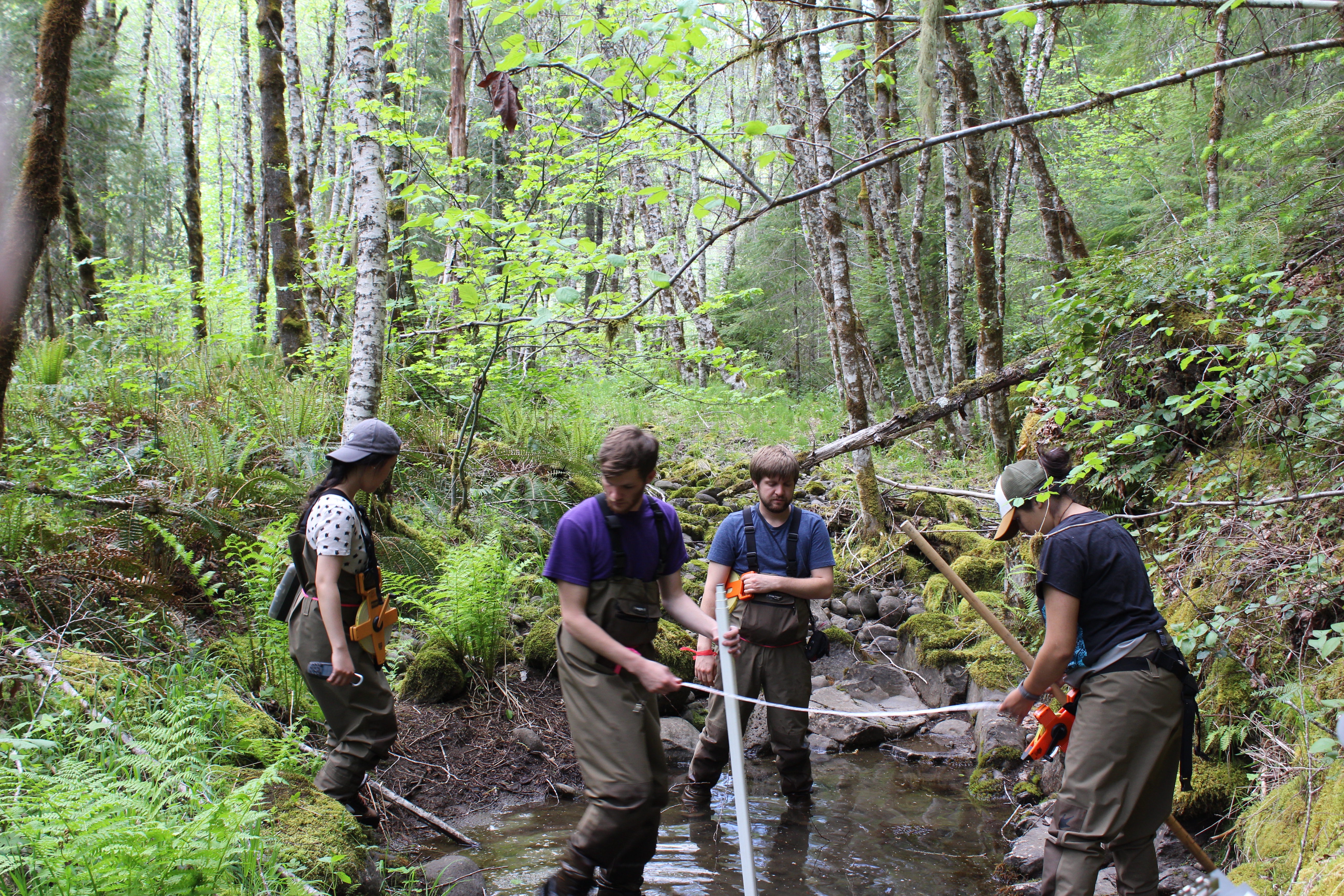
Healthy floodplain areas naturally contain side channels and isolated pools areas which are full of water and connected to the main channel (“activated”) during spring flow. Because the planned restoration project goals include increasing the number and duration of these habitats, our team conducted baseline measurements of existing channels and pools. In order to complete this task, we surveyed the entire floodplain by walking parallel transects and looked for activated pools. We collected data if a pool was at least 6 inches deep and 30 feet long. . For each pool, we determined whether it featured fast or slow water, generally determined by the presence (fast) or absence (slow) of an uneven water surface.
We then recorded the length, average width, and average depth of each pool. For mapping and future reference, we recorded a Global Positioning System (GPS) waypoint at the center of each slow-water pool and a GPS track along the perimeter of each fast-water pool. Additionally, we took photographs of each pool and recorded general field observations regarding aquatic biota and/or fluvial characteristics.


