Accessing Satellite Imagery – A Primer on Remote Sensing

Today, I had a blast giving a workshop on acquiring and analyzing remotely sensed (satellite) imagery as it relates to marine and coastal research that is ongoing at the Oregon Institute of Marine Biology (OIMB). For example, using NASA’s Worldview viewer, a researcher can intersect imagery containing sea surface temperature data with images containing chlorophyll-a concentrations in algae and overlap the images to look for present or past areas where there could be or were harmful red algae blooms. I also covered Google Earth’s Historical land coverage database, NOAA’s historical hurricane database, and then the three dominant tools for accessing current raw and upgraded satellite Imagery, USGS’s EarthExplorer, and their more streamlined but less in depth GloVis viewer and finally the European Space Agency’s Copernicus Open Access Hub. Using data from the Sentinel 2 Satellite System and ESA’s SNAP image analyzer, I led the group through an exercise of obtaining a very recent satellite image of the OIMB area and the showing the class how to review the image using different spectral bands to see the image as a normal photograph, or in color-infrared imagery to discriminate between, sand, clear-cuts, deciduous trees and conifers, and how to review the image using ultraviolet bands to see greater detail in shallow waters of the Coos Bay area.

Class

NASA WorldView
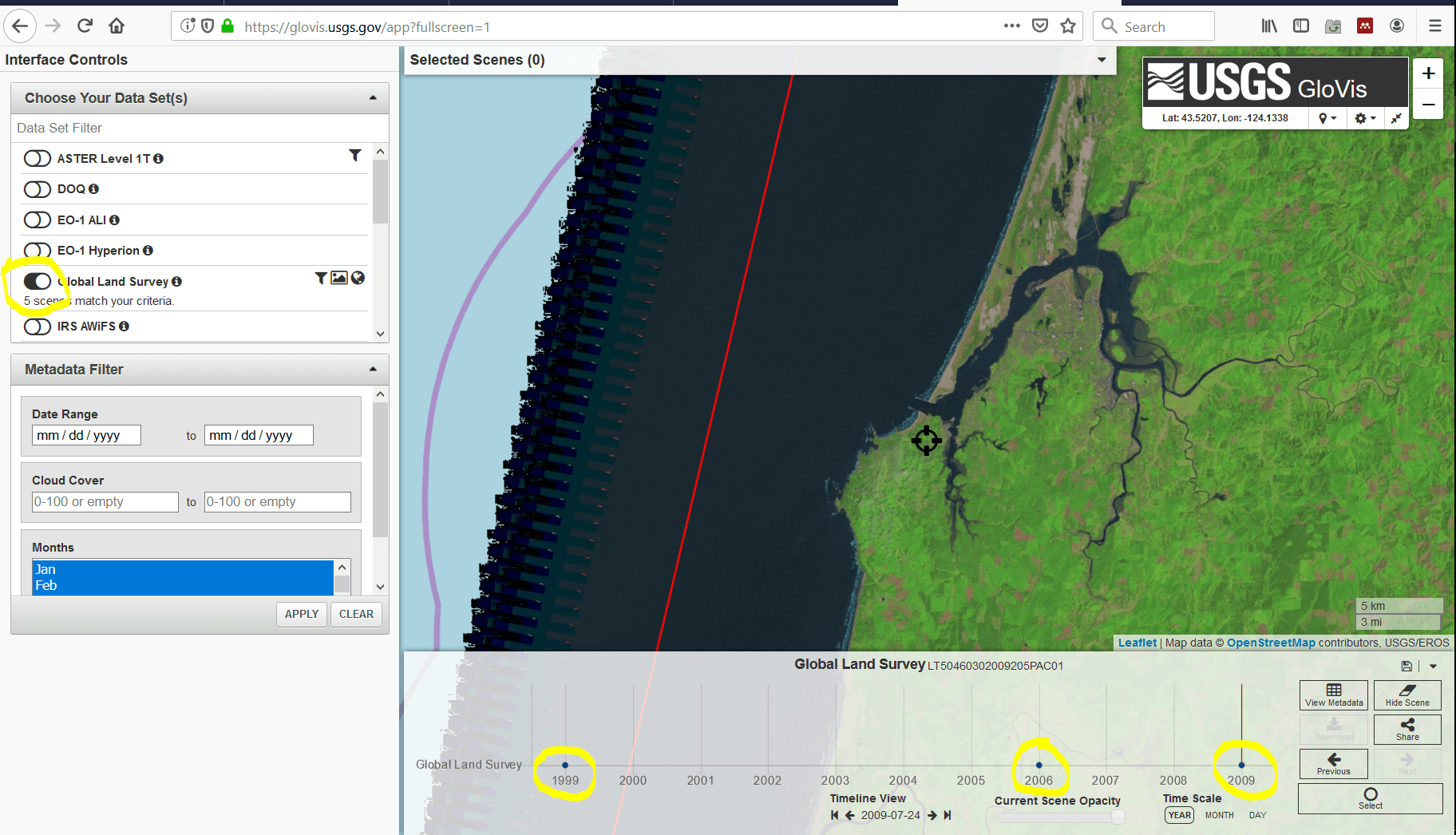
USGS GloVis Satellite Viewer
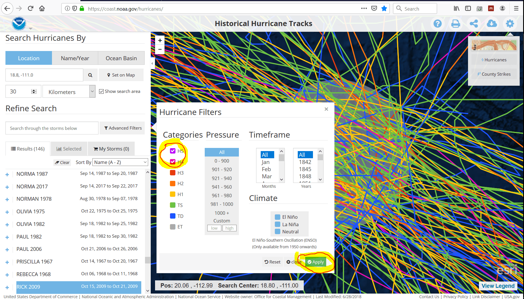
NOAA Historic Hurricane Data Viewer


