ASPRS – American Society for Photogrammetry and Remote Sensing & 3D Modeling
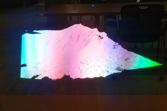
Related to our last post on the American Society for Photogrammetry and Remote Sensing meeting in the Price Science Commons’ VizLab, we were excited to be invited to talk about the use of UAV/ Drones and photogrammetry to create holographic landscapes. Shown above is a 3d model of the Painted Hills as a hologram as seen via Microsoft’s HoloLens. The landscape doesn’t yet have the texture and color of the true landscape, and is only colored here by the refraction of light as we took the picture.


에볼플레이 먹튀검증 안전노리터