Projects

National Accessible DataBase
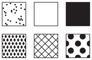
Amy Lobben, W. Andrew Marcus, Nick Perdue, Shiloh Dietz, Antoine Nzeyimana. While municipalities’ geospatial databases likely include ADA mandated features, there are many other environmental features (i.e. slope, surface material, sidewalk obstructions…) that represent barriers or ...
DuckMaps – Accessible Maps and Mapping
Amy Lobben, W. Andrew Marcus, Arielle Alferez, Loden Donahoo. Building on 15 years of accessible mapping research in our lab, we are now providing a free tactile mapping service to individuals and non-profit organizations who need accessible maps. Our production methods include 3D signage-style ...


Auditory GIS
Much of the work in GIS interface development assumes that the user will perceive the display through vision. As a powerful tool across many applied fields, however, the target user group for GIS software should also include users who are blind or low vision. We developed an auditory GIS to serve ...