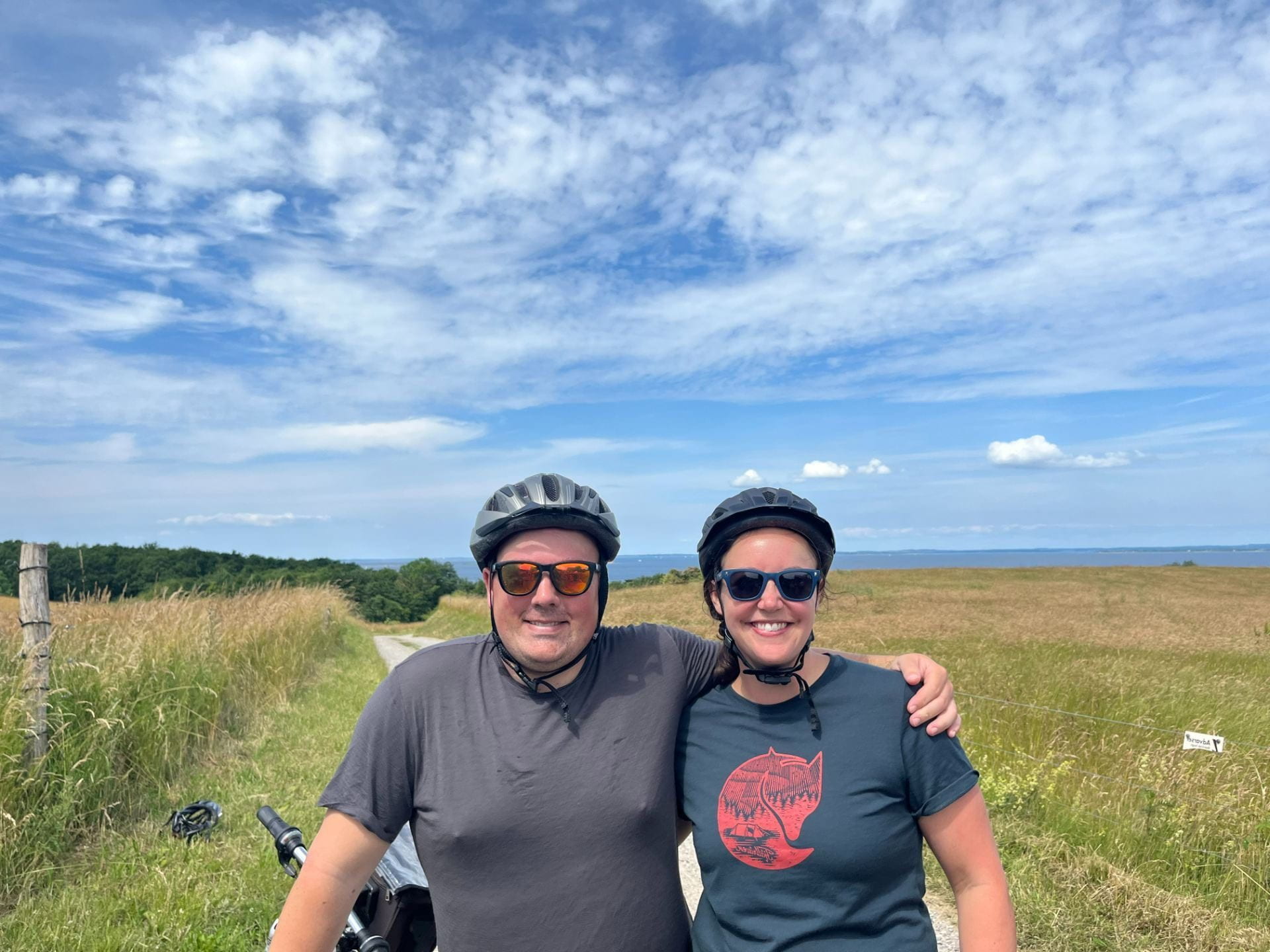
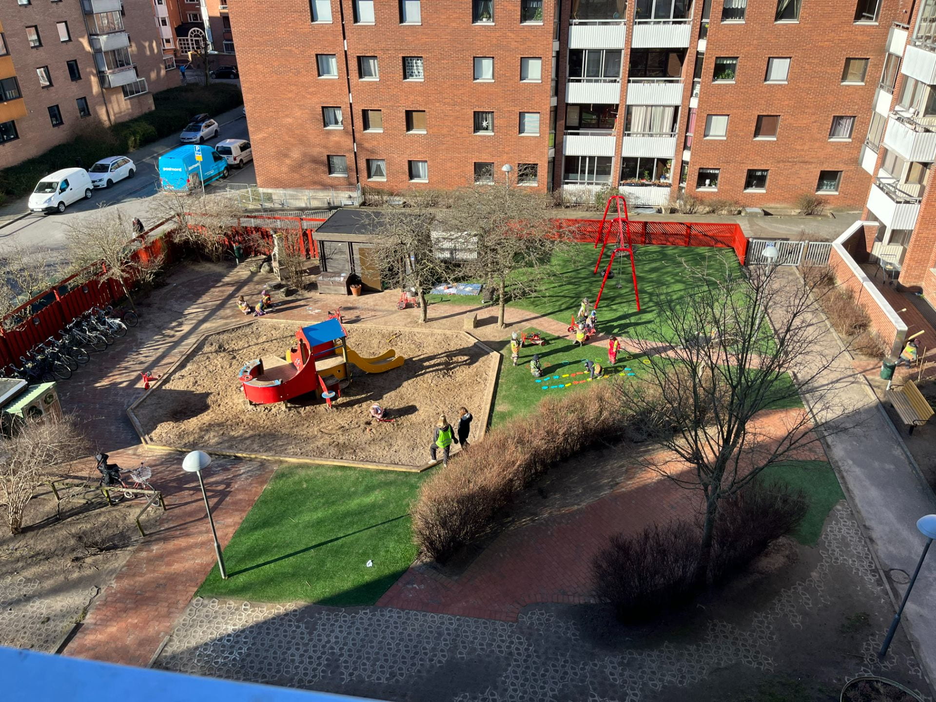
A re-routed course (due to COVID protocols) allowed for the addition of a mid-sized Dutch city into our course. On Monday, we rode in vans from Odense, DK to Linden, NL, which is a very small town about 15 km from Nijmegen. On Tuesday, we were greeted by an enthusiastic Dutch transportation planner in his mid-30s – Sjors van Duren. Sjors shared stories of being a fresh college graduate out of the University of Nijmegen who was the only one at his organization enthusiastic about cycling projects. Throughout the day, Sjors shared stories of projects he shepherded to improve cycling connections throughout the region including cycling super highways, “keep on going riding routes” and important bicycling bridge connections. It was great to hear from someone mid (or early) career sharing stories about recent projects in a mid-sized city. We hear from such a great variety of public, private, nonprofit and academic sector cycling experts throughout the class and I appreciated what Sjors offered to our roster of amazing speakers. Nijmegen was a great introduction to the Netherlands because it offered examples of a smaller city doing a lot of stuff recently (v. Utrecht and Amsterdam, which have been “at it” for 40+ years.) Remarkably, the cycling mode split increased by *20* percentage points from 40% to 60%. These were a few lessons I took away from our day with Sjors:
- Cycling Super Highway = Keep on Going Riding Route: Sometimes you have to re-cast the same project in different communities to get buy in from the community. Language, communication, and values matter. Couching projects in terms of values like social mobility, congestion, and health can build support from different politicians and residents. The point is to offer safe, fast, convenient infrastructure that lets people get from place to place easily.
- Back up your dreams with calculations: Sjors was able to build regional support for a cycling bridge from Cujik to Mook by using the tools of engineering and congestion to justify the investment in a cycling bridge to communicate just how cost-effective infrastructure for cycling is compared to motorways. He also said to put your math in a box after you’ve gotten political support, because it’s already served it’s purpose and there’s no need to revisit it.
- Put some skin the game: On the same bridge project, Sjors told a story of getting municipalities to commit to each funding a little piece of the project in the region. When they came up a little short for funding, it was easy to get commitment for the rest of the funding because everyone had showed faith in the project.
- Recycle infrastructure: Instead of building brand new facilities, find older paths and routes that can minimize the amount of investment required. One of the paths we cycled followed an old Roman road. In the U.S., we do this with rail trails (though there are some political challenges that can raise the costs).
- Sometimes you have to make it better for cars to make it better for bikes: Nijmegen has a lot of cars as well and we went through some intersections that see 50k cars per day. Sjors gave examples of trying to increase capacity for cars in some parts of the city in order to make it nicer for cycling in other parts of the city. We talk so much in this course about making things harder for cars to encourage biking, but it was really useful to hear Sjors say “you’re never going to convince everyone” and that sometimes you make tradeoffs to improve cycling.
- Pick the best communicator for the job: Sjors gave a good anecdote about learning who you can communicate with and being willing to step back to let someone else manage a relationship if they’re better at communicating with a particular audience.
- We tradeoff safety for convenience: While it’s the safest for all road users (bikes, pedestrians, vehicles) to stop at every intersection, you trade off convenience for safety. If you make it so inconvenient to cycle, then no one will do it.

Sjors talking about Nijmegen
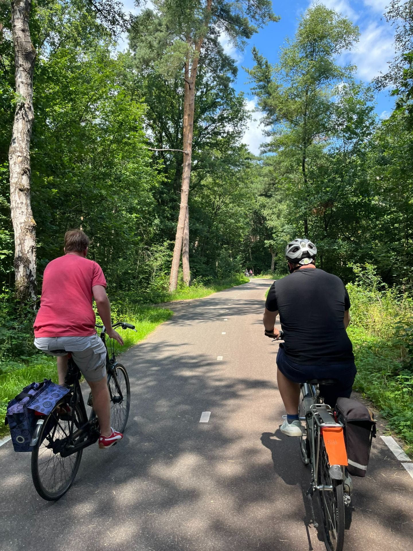
Sjors and Nick riding on the “Keep on Going Riding Route”

Roundabout design
The “bad” route from Nijmegen to Cujik

On the “bad” route — pretty nice!
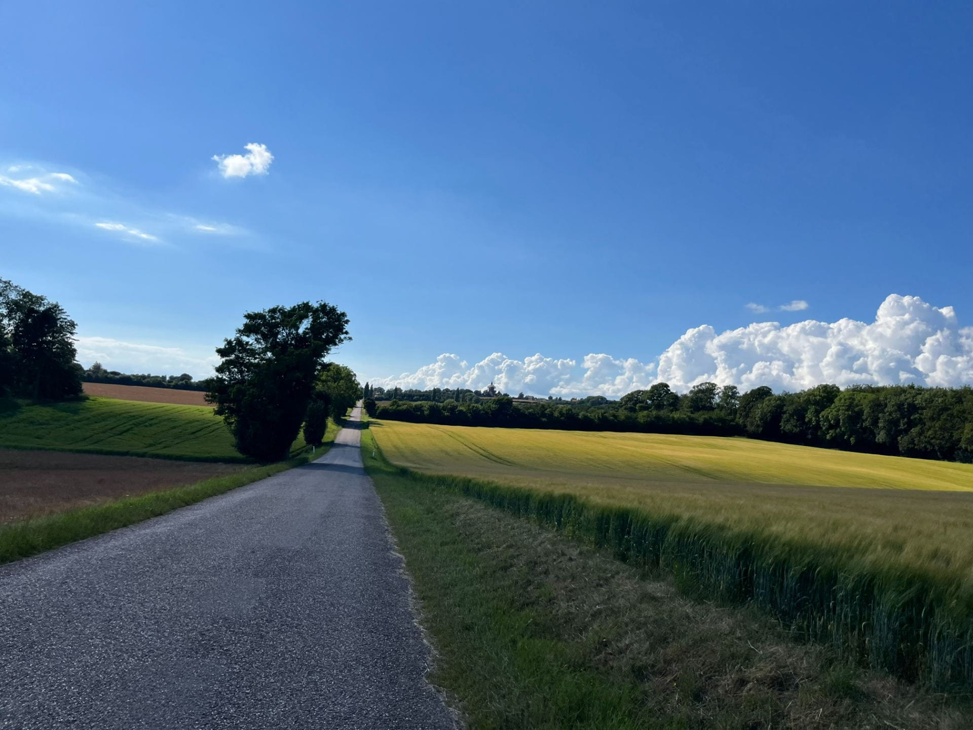
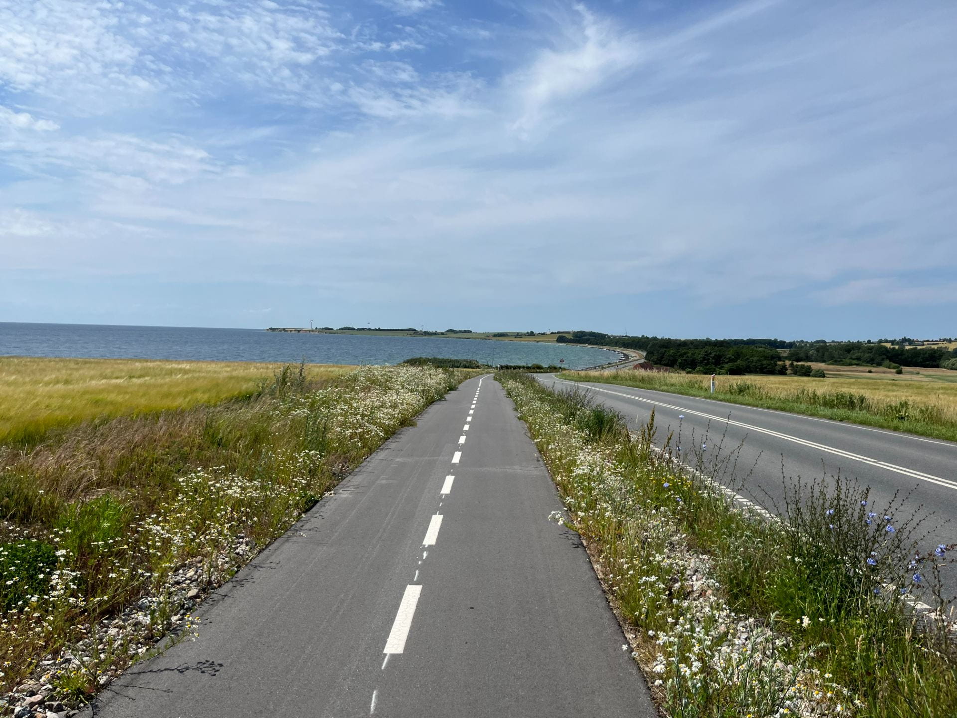
As a side note, there are multiple ways to get from Linden to Nijmegen – we rode with Sjors on the “Keep on Going Riding Route” where bikes go non-stop on an off-street facility through a forest. It was lovely and pleasant. He also described a “highway” route – we rode that route as well, and it was remarkably pleasant as well with protected infrastructure and beautiful roundabouts. The “highway” felt more like a U.S. arterial and traffic was going ~40 mph maximum, mostly because the road was designed to slow you down. I met a woman on the train who was an Australian ex-pat living in the northern part of the country. She said “In Australia, when we talk about safety, we make roads as straight as possible and cut down all the trees. In the Netherlands, when we talk about safety, we make the road curvy, narrow it, and add trees to slow people down.” It’s a very accurate description of the approach, and it’s really easy to see how well the Dutch approach works in a variety of contexts.

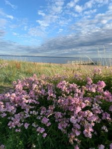
Lovely rural path
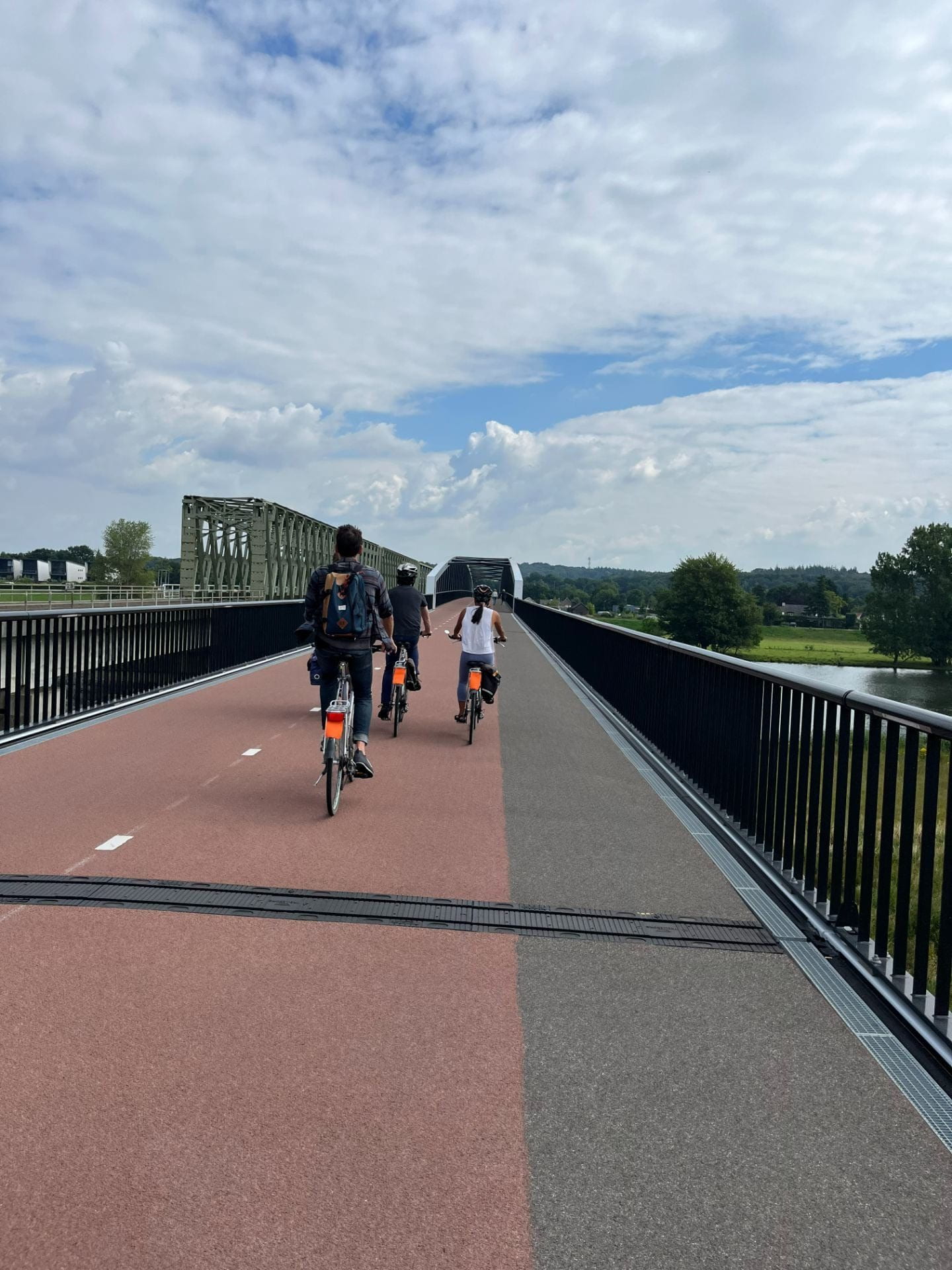
Bridges

Roundabout

Path outside Nijmegen

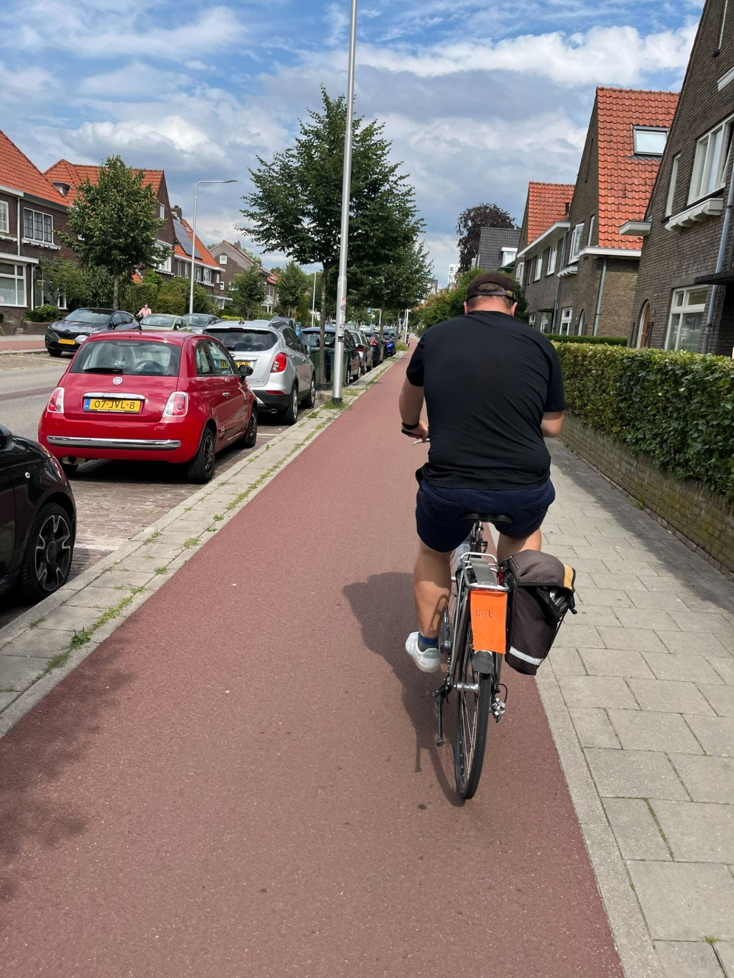
Riding near Linden