Kekawaka Creek, Northern California
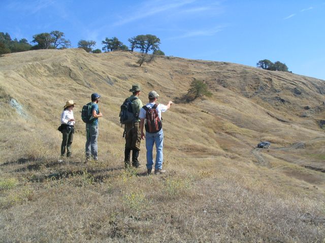
Checking out some landslides in the Eel River Catchment, CA with Josh Roering (UO), Bill Schulz (USGS), and Corina Cerovski-Darriau (UO)
Standing on the lateral shear margin of the Two Towers landslide, Eel River Catchment, CA with Bill Schulz (USGS), Corina Cerovski-Darriau (UO), and Jon Pelletier (UA).

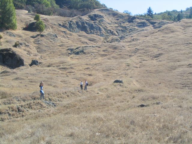
Well-defined lateral shear margin, Two Towers landslide, Eel River Catchment, CA
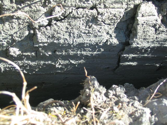
Slickensides along lateral shear margin, Two Towers landslide, Eel River Catchment, CA.
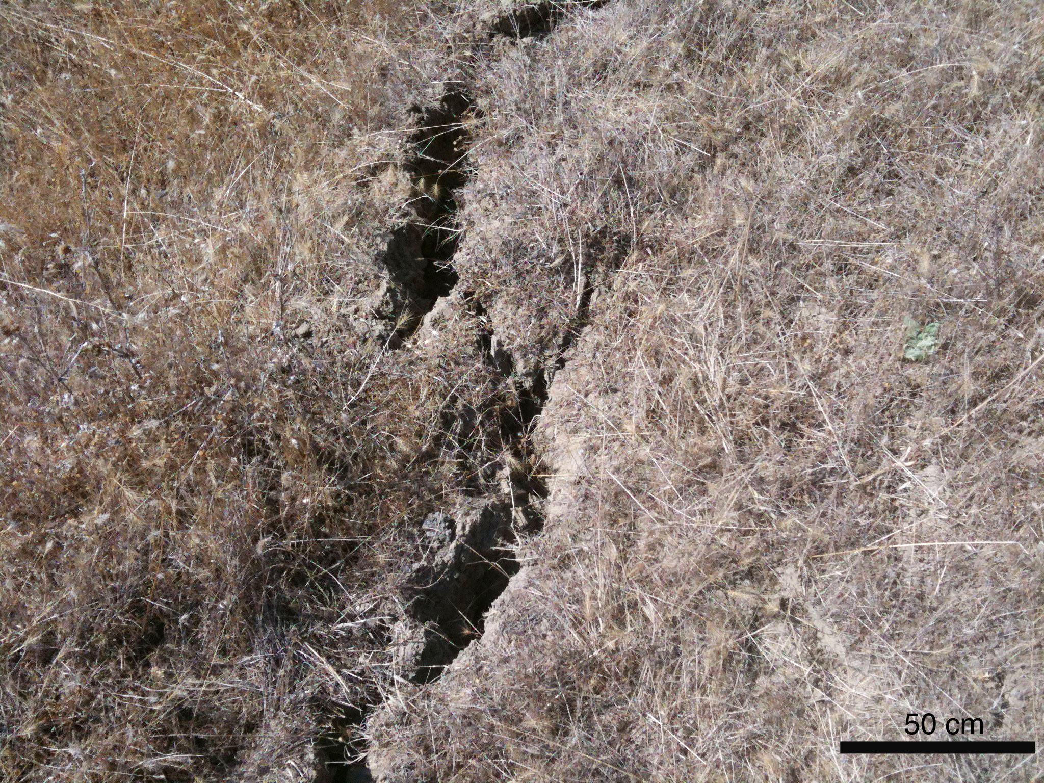
Open mode cracks, Kekawaka landslide, Eel River Catchment, CA.

The toe of the Two Towers landslide riding along the ground surface.
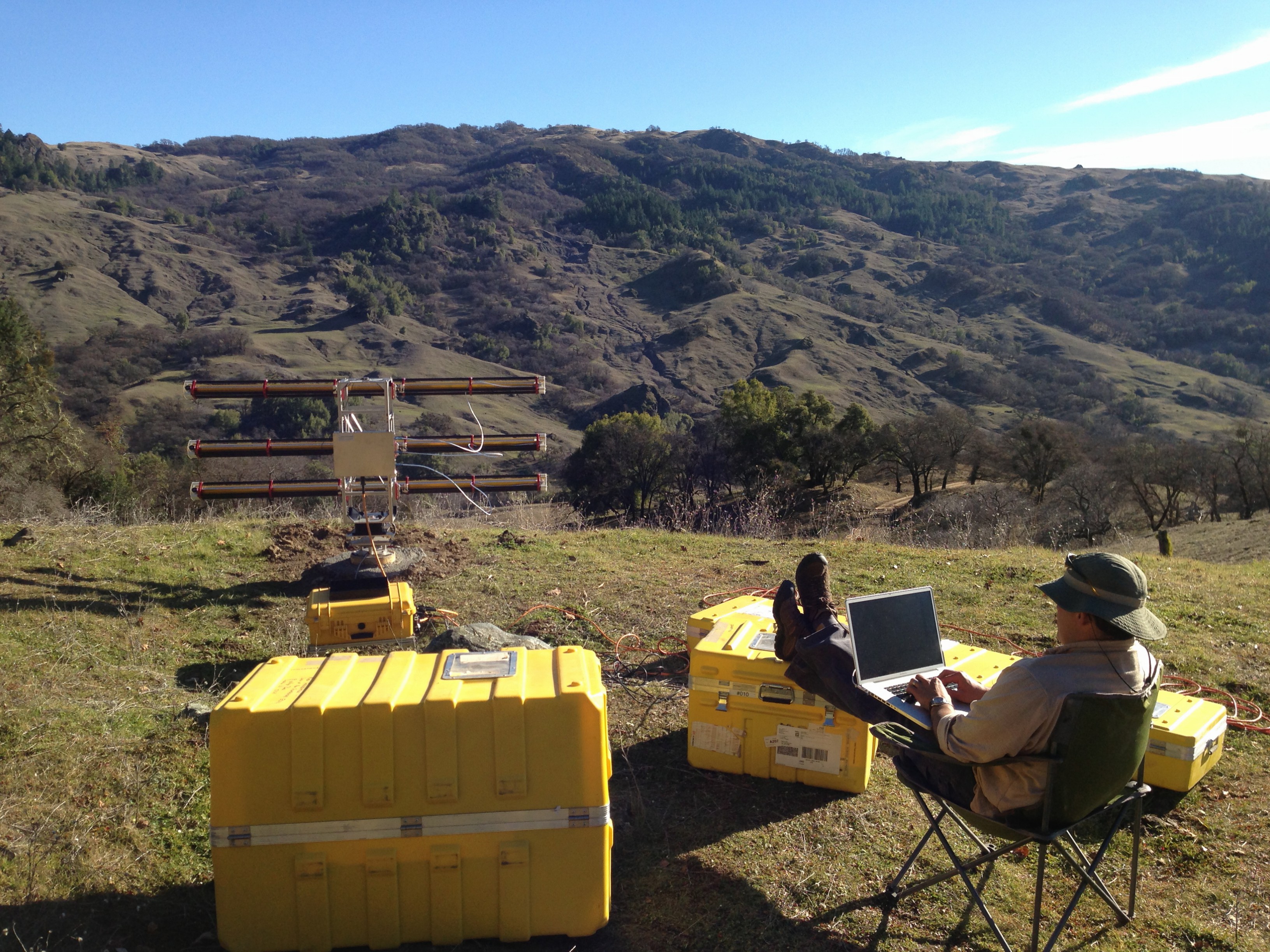
Ryan Cassotto (UNH) measuring surface deformation with a ground-based radar interferometer (GBRI), Two Towers landslide, Eel River Catchment, CA.
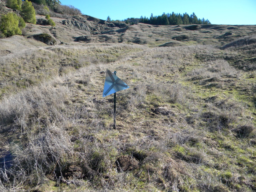
Reflector built by Ryan Cassotto (UNH) to help improve coherence with a ground-based radar interferometer.