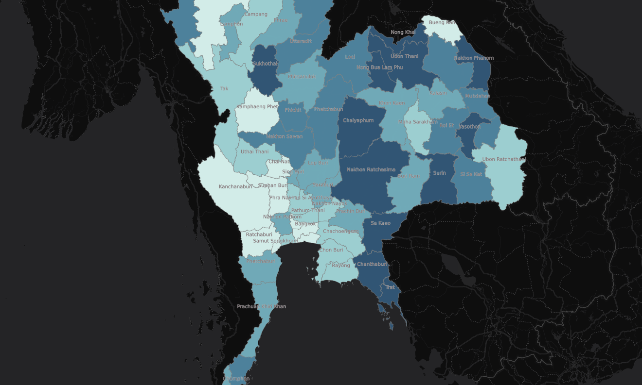
Maps to support research on indigenous groups in the Ecuadorian Amazon
In the fall of 2018, I produced these maps to support the research by my colleague at UO, Belén Noroña, on indigenous groups in the Ecuadorian Amazon. The maps were produced using ArcGIS and Adobe Illustrator with data sourced from Natural Earth, DIVA-GIS and Esri. These maps were exported from ArcGIS into Adobe Illustrator for manual stylization. […]


