The Cascadia subduction zone (CSZ) has produced devastating earthquakes of magnitude 9 and larger, with and an estimated recurrence interval of 400-600 years, the most recent in 1700. The CSZ poses a significant risk to people and infrastructure in the Pacific Northwest. Modeling megathrust subduction earthquakes in Cascadia will lead to a better understanding of how waves propagate through subduction zones and improve the seismic hazard estimates in the region.
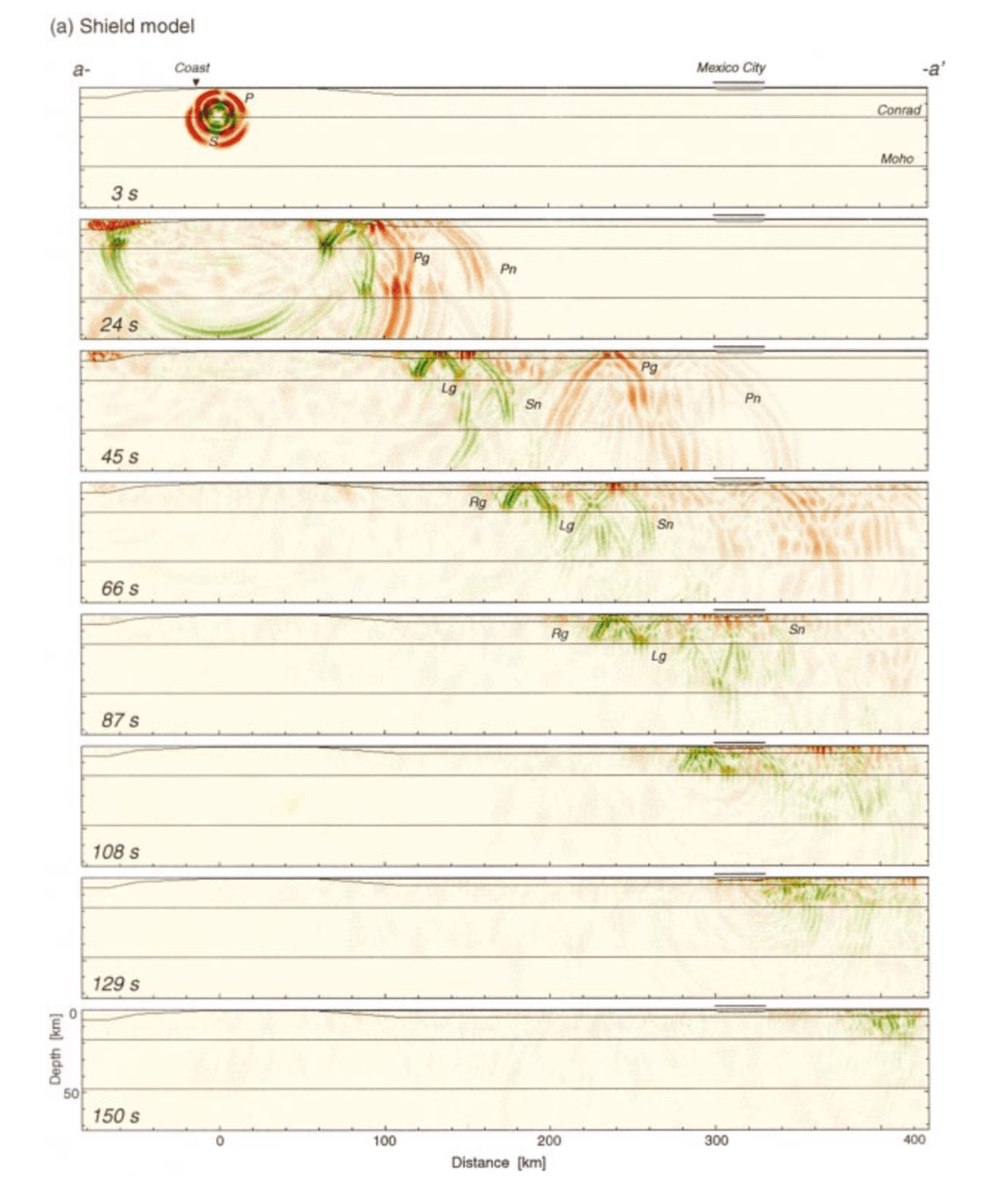
Research has shown that subducting oceanic slabs can act as a guide for seismic waves (Furamura & Kennett, 1998). The wedge-shaped subduction zone geometry causes strong reflections of S waves off the crust/mantle boundary, and as well as superpositions of reflected S waves trapped in both the oceanic and continental crust, due to lower velocity in the crust. This leads to S-wave energy being channeled downdip in the subducting oceanic crust until it reaches the continental crust/mantle boundary, and much of the energy is reflected back up to the surface. This waveguide feature amplifies ground motions at distances over 180 km from the trench and increases duration of shaking. I propose to model various locations and sizes of subduction zone earthquakes in Cascadia in order to understand regional controls on wave propagation, and the possible existence and effects of a subduction zone waveguide. So far, most studies modeling the wave guide effect have been 2D, but I will use a well-supported wave propagation software, SPECFEM3D, in combination with a Cascadia velocity model (Stephenson et al. 2017) to model various types of ruptures in Cascadia.
Below are 2D seismic wavefield snapshots Mexico from Furamura & Kennett (1998). We plan to do similar modeling in 3D for earthquakes in Cascadia.

