1.2 Reading
Data Dimension: Accessing Urban Data and Making It Accessible
Measuring large scale human interaction is fascinating in that the examiners of the data have the ability to extrapolate the information and make concrete decisions about relationships. For example, the text explains that if there were to be a separation of entities within the UK, a succession would be more disruptive in Wales rather than Scotland based on the phone call data that shows their connection to mainland England such as London. The same level of connection and interaction is measurable by state in the US. Certain states or communities have stronger connections to its neighbors than others, and we can estimate that this has to do with economic infrastructure such as hub cities. Tracking data can help us form a graphic image based on time and location in many forms, even in waste management. The authors make it clear that they care about making data accessible to learn more about our communities and our systems.
Food, Time and Space
Mobile cuisine offers a look into ethno-architecture within the urban context. Where our immigrant communities form and in what way they structure their small business can all be measured to provide a larger picture of diversity with the city. When surveyed, a majority of food-truck owners said that they selected their choice of cuisine based on familial background, from family recipes’, and/or because that food was not authentically available in that market. The survey also shows that a large portion of the business owners were immigrants. It’s interesting to note that this survey took place in Portland and New York, which have some disparities in the data which is likely due to the amount of immigration through New York compared to Portland. Furthermore, the age of many food-trucks are quite young, which may have to do with the level of difficulty associated with owning one, specifically in New York where parking is scarce and food-truck owners are often fined.
Social Coding: Urban Processes and Socio-Computational Workflow
The author accesses that a city as a whole is really just a collection of systems that interact with each other. He uses the analysis of the food truck owners in Portland and New York, which has data broken down by the food, business and mobile unit. There is a lot of data regarding the background, entrepreneurial obstacles and business costs presented in this article, but the largest takeaway as a designer could be that all of the geospatial data creates a system that is numeric and able to visualized. Understanding the urban context of a city like New York, where food trucks often receive fines for parking, would allow the designer to make a conscious decision to affect the physical space and support food-truck mobility and diversity. In Grand Army Plaza, it is easily recognizable that there is a physical separation in two distinct areas between food-truck owners born in the U.S. and those who were born elsewhere, which hints to a larger socio-economic question which cannot easily be answered by the information presented here, but it does bring about larger questions about diversity that could be answered with further research.
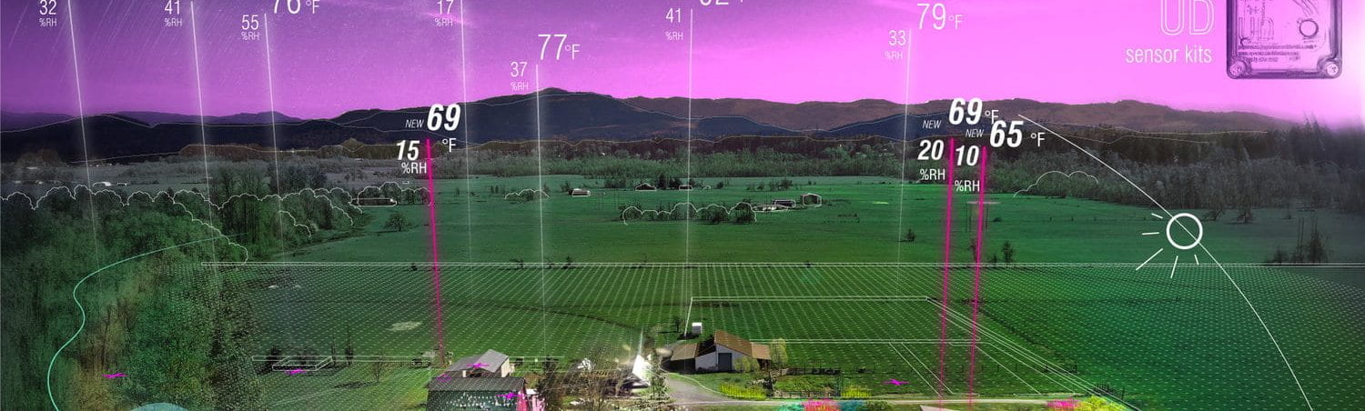
Using Parametric Methods to Understand Place in Urban Design Courses
The phenomena of time and space is a system of collectable data that is most valuable when being collected ourselves, rather than reading over data that has already been collected and organized. This reading addresses the use of software and data collection as it relates to various urban context courses that have been taught in Eugene and Spain, and some of the particular subsets of data the students have decided to explore. There was also an emphasis placed on collaboration when collecting data because the situations being measured are very complex.