Key Points:
• P wave tomography of the upper crust (<3 km) around Santorini delineates basin structures including buried margins and basement faults
• These structures, also seen in seismic reflection images, result from both the integrated tectonic history, as well as ongoing deformation
• Tectonic structures and stresses localize volcanism in regional NE-SW basins, and, within Santorini caldera, along local NE‐SW lineaments
Category Archives: Uncategorized

Santorini caldera & magma system in TheConversation.com

Santorini caldera and magma recharge paper published
Available online at EPSL: https://authors.elsevier.com/a/1YlKR,Ig4G-Zm. Click here for a PDF.
Highlights
- There is a shallow low-velocity, high-porosity volume in the north-central caldera.
- Vents of the first 3 LBA eruption phases correlate with this inner structure.
- Inner collapse involved reverse faults, volcanic deposits, and/or rock fractures.
- The low-density volume may cause magma recharge to localize beneath it.
- The outer topographic caldera formed by relatively coherent down drop.
A summary cartoon:

Story Map for Santorini: Kameni island growth and Minoan eruption phases at Metaxa Mine
Take a look at this impressive Story Map that Evi worked on.
https://nom.maps.arcgis.com/apps/Cascade/index.html?appid=2a6c54875bf743dd8143786a55dcb2b1
It explains the exposures of the Minoan deposits in the Mavromatis Mine and shows the development of the Kameni volcanics. It is really nicely done. We went to both places on the Staples field trip spring, 2018.

Screen grab from the MetaxaMine in the Story Map. Click to link to the Story Map.
Fieldtrip Summary Meeting
Here is the presentation that summarizes how what we saw relates to the processes we discussed prior to and on the field trip. Also a document that includes all the comments that I received from the trip participants – good observations and thoughts and some insightful recurrent themes.
Fieldtrip Roundup
 I hope that you have all recovered from the trip back. Thank you all for being a great group on this trip, all my colleagues, the tour guide and even the hotels commented favorably on the behavior and level of interest of everyone in the group.
1. I have reconciled the expenses from the trip and we are pretty much on budget. Each student owes me $363.26. Please transfer this to me using Paypal (emilie@uoregon.edu), cash or a check. Since you had a ~$210 difference in your student account between the scholarship and the field trip charge, this makes the remaining cost to you ~$153. (Brandon, Ben, Gillean, and Miles see me separately).
2. We will have a summary meeting next week on Monday or Friday afternoon of the week of April 16-17. Let me know which times you can make at: https://doodle.com/poll/mcf6648rrq63cvrp
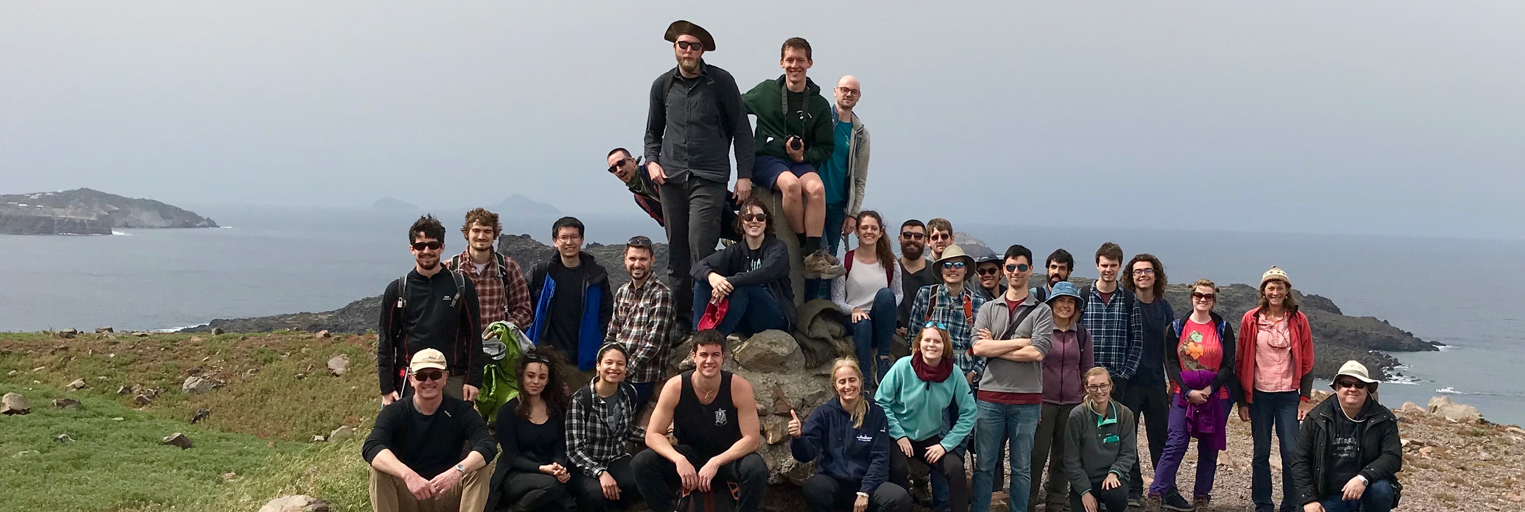
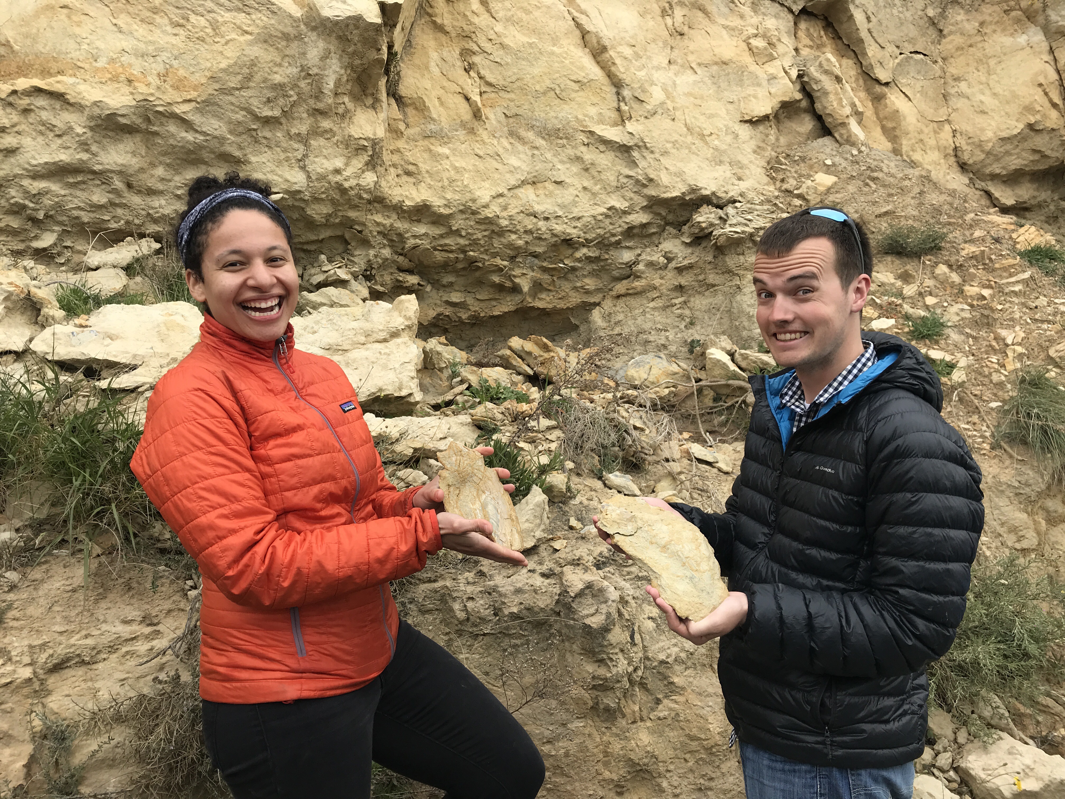
3. Brandon will let you know where to put your best photos from the trip at the start of next week. I have been sorting though mine! Here are two of the group photos and a third of the group at the base of the fault surface.
March 30, 2018: Last Day in Crete
No more rocks? We hear your wish! Located in the center of Heraklion, Crete, the Heraklion Archaeological Museum is one of the most important museum in the world with tons of collections of Minoan civilization.

Heraklion Archaeological Museum. The door is the key to the past, though it takes a while to open.
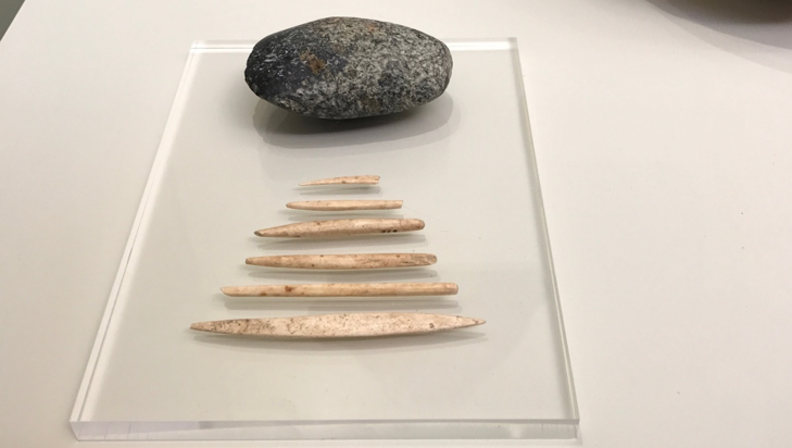
The earliest tools under the Minoan palace site. Stone axes and bone awls 4500-3000 BC.
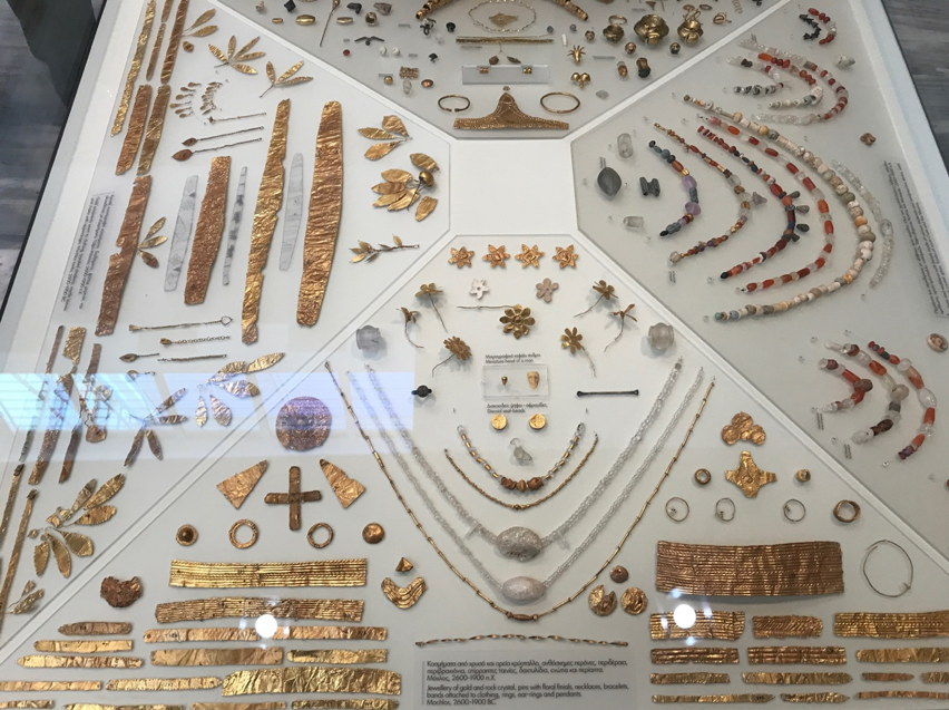
Luxury Minoan life. Delicate jewelry and rock crystal were made 2600-1900 BC.

The Phaistos disc. The earliest European language that has not been deciphered yet. The unique scripts were gradually replaced by Linear A.

The Snake Goddess showing their ritual in Minoan age. The snakes may represent death and rebirth. 1650-1550 BC.

Bull-Leaping Fresco. Perhaps one of the most impressive Minoan activities. The painting represents a kind of sport, ritual or just purely decorative.
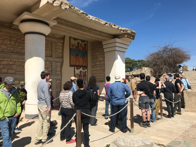
Then we drove to see some rocky things: “Europe’s oldest city” – Palace of Knossos. This palace was built as the civil central of Minoan civilization starting from Neolithic period to Bronze Age (~1700 BC). Beautiful!
Modern people are looking at Greece ancient building architecture reconstructed by old English researchers…
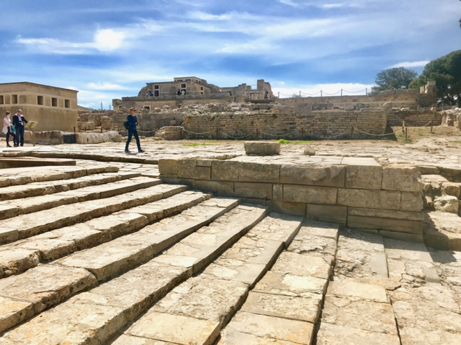
The whole view of the palace from “the oldest theater in the world.”
After cool archaeological sites, we drove back to the beach of Amnisos Bay. Intriguing tsunami deposits associated with Minoan civilization. Such tsunami deposits may have been induced by Santorini eruption. (p.s. The relative sea level was 3 meters lower then present)
The remnant wall of a “Villa” was cover by chaotic sandy layers, which contain broken bones, potteries, poor sorted angular pebbles with diverse composition (including some pumice).
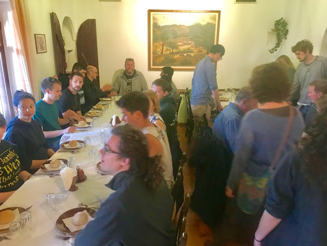
In the end of day, we moved back to the Natural History Museum, had a brief summary of this field trip, and ate delicious food together!! Thanks for comprehensive talks by Emilie and Ben.

Cool bathymetry map around the Santorini islands. Lots of extensional basins and maybe some big left-lateral strike slip fault!
Good dinner with traditional Greek food and wine. Thanks for the organization from both UO and Greek professors leading such a smooth and fascinating field trip!
-Larry and Tim
March 29, 2018: Cretan Mountain Blaaaaggg
On our second day in Crete, we drove into the mountains around Psiloritis.
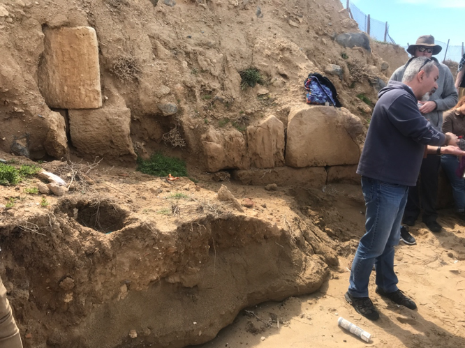
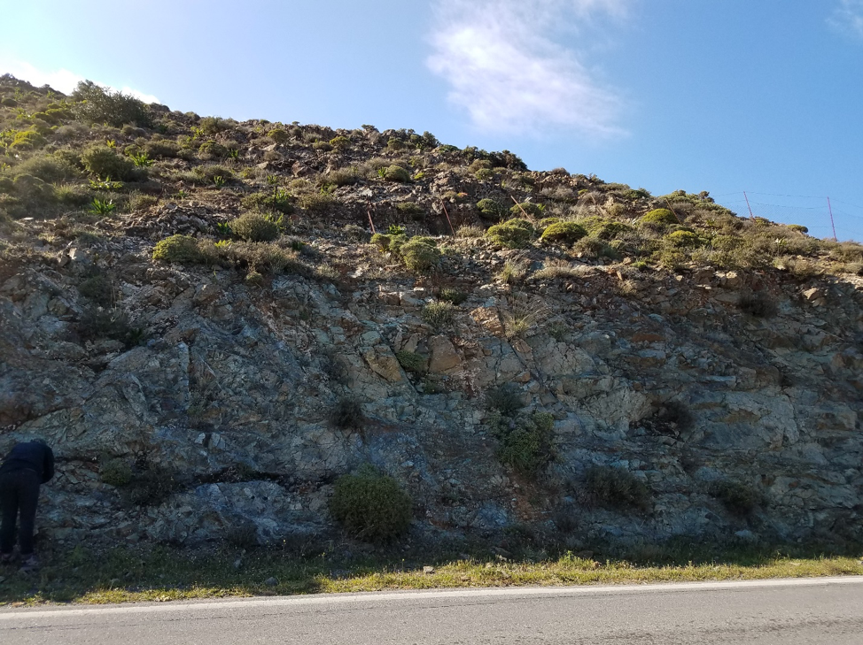
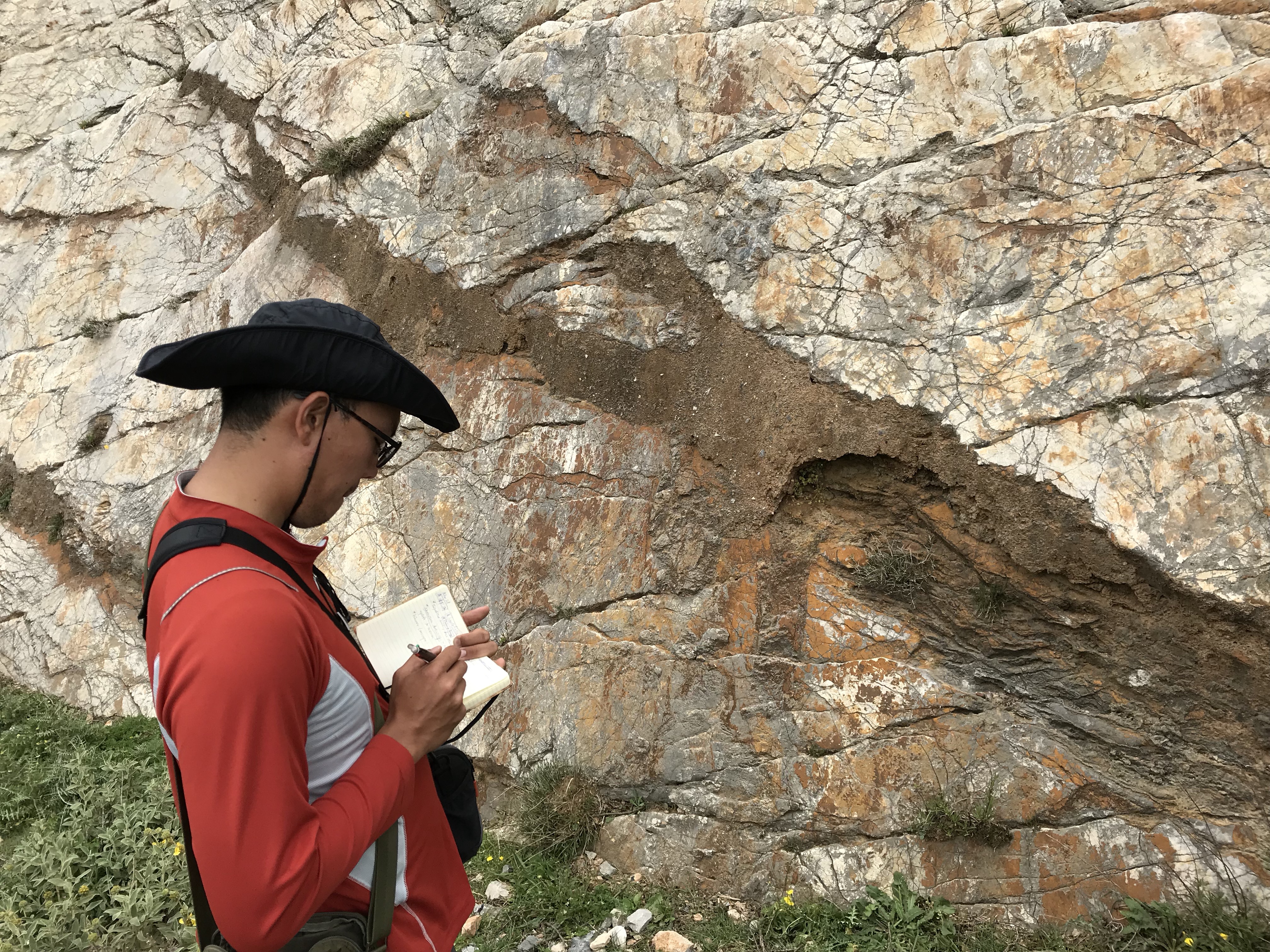
The Cretan detachment fault exposed under a highway bridge. Shear zones from an old thrust fault, shearing toward the north. The contact was reactivated in the late Miocene as a normal fault shearing toward the south. 2 euro coin for scale.
Almyros spring, the largest spring in Crete, is a brackish karstic spring. Water from the Tripolitsa unit and the Psiloritis Mountains travels the 25 km to the spring in just 9 hours. Another system brings sea water into the cave system, hence the brackish composition. Water flow in spring, when the water is fresh, is enough to supply ¼ of the island’s demand, but there’s nowhere to store it year-round.
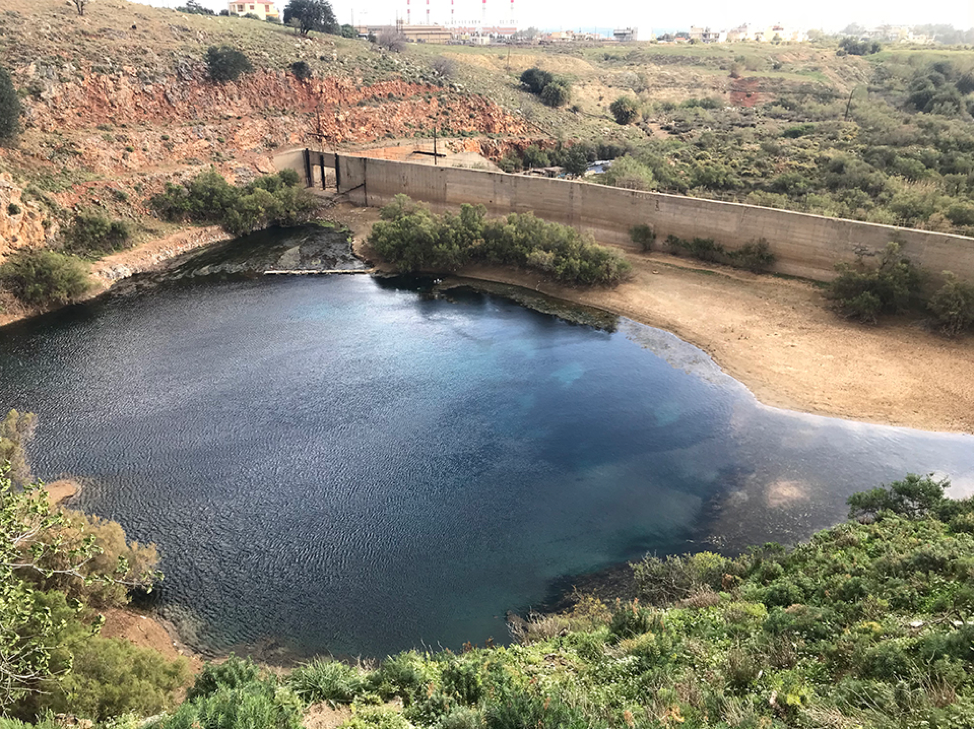
Voulismeno Aloni Pothole. A karstic depression in Tripolitsa limestone. This was a cave once, but the roof collapsed leaving an impressive circular hole. This feature is connected to the Almyros spring.
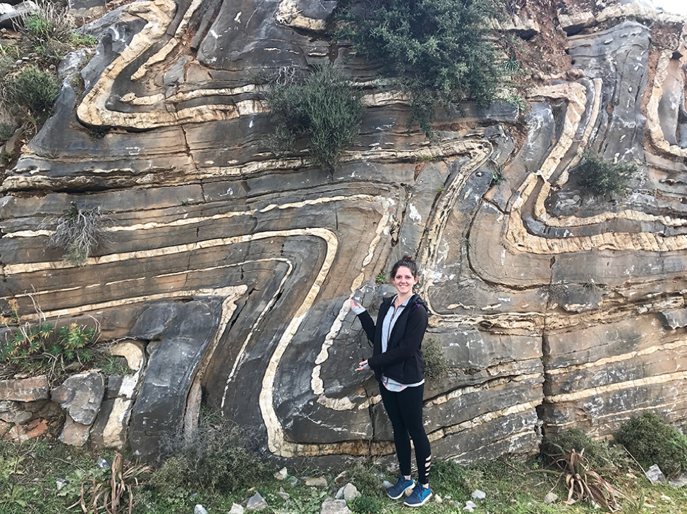
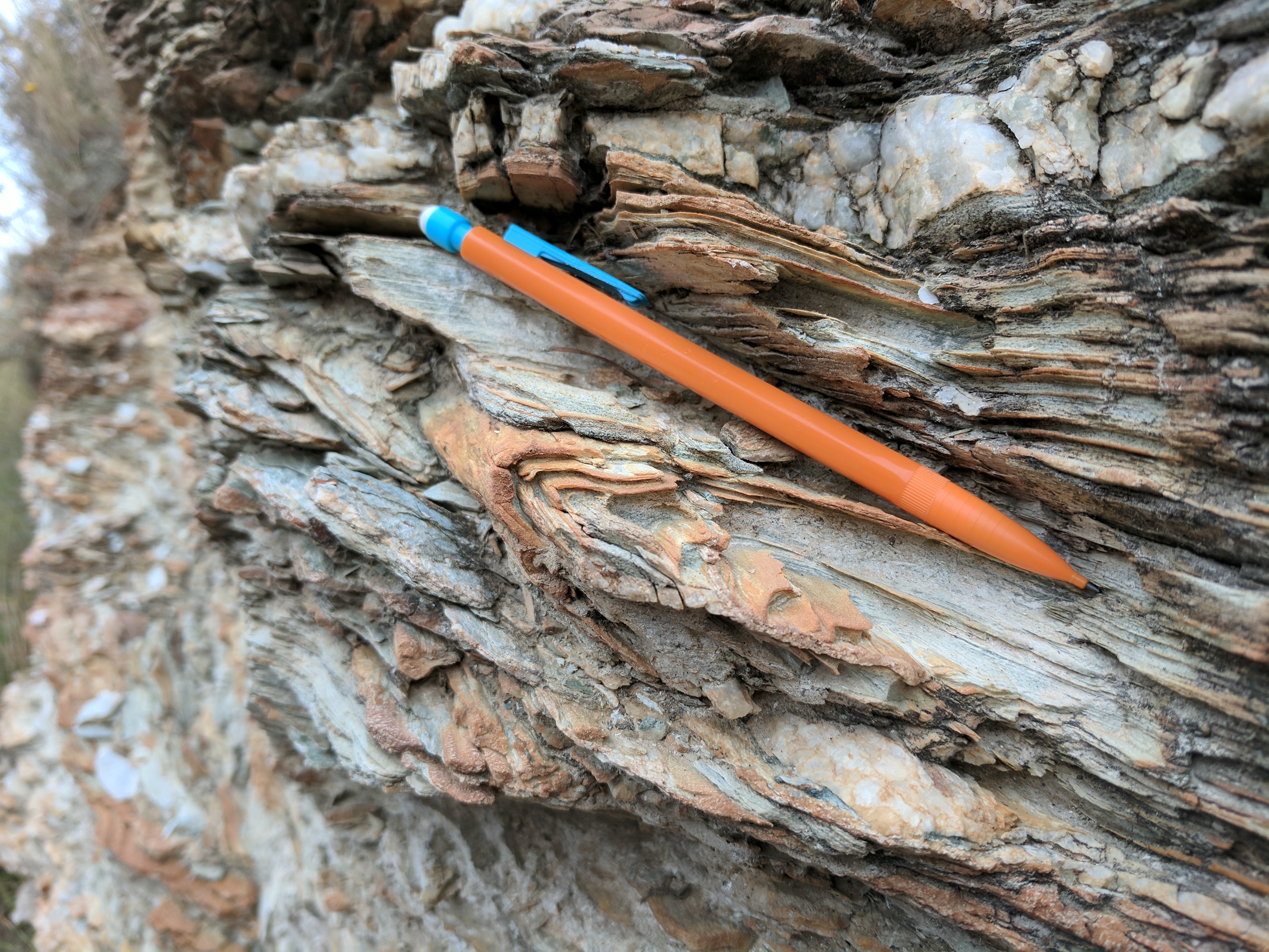
Massive marble below, part of the Plattenkalk Unit, upper Triassic to lower Jurassic in age. Plated marble above, upper Jurassic to Oligocene in age.

Impressive folds at Vossakos, in platy marbles of the Plattenkalk unit. Axial plane dips to the north. Folding is from the Oligocene due to early subduction processes. The thin white layers are silica.
Boudinage in Vossakos. This indicates the sense of deformation.

We stopped for lunch at the Psiloritis geo-park in Anogeia. There are no traditional buildings left in the town, because the Germans destroyed it during World War II.
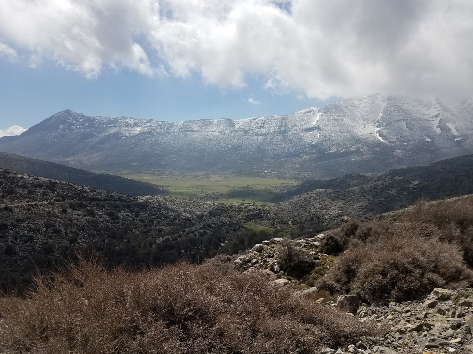
On the way to our next stop at Nida Plateau, these goats didn’t wait for our bus. This was a common occurrence in the mountains. In the background is Psiloritis.

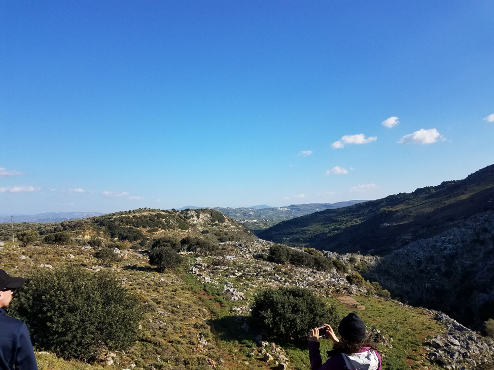
The view from Nida Plateau. The shadowy line just below the clouds on the right is the Cretan Detachment on Psiloritis.
Agios Fanourios detachment fault. Tripolitsa rests on top of Plattenkalk metaflysch. The Tripolitsa rocks hold plenty of water (feeding the Almyros spring) which seeps out of the detachment in some places.

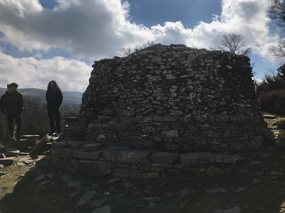
A mitato, a seasonal shepard’s residence. These structures don’t utilize mud or any other binding agent. Large stones are stacked in a way that provides a dry interior even in rain. Behind this building is a smaller mitato used to store and mature cheese.
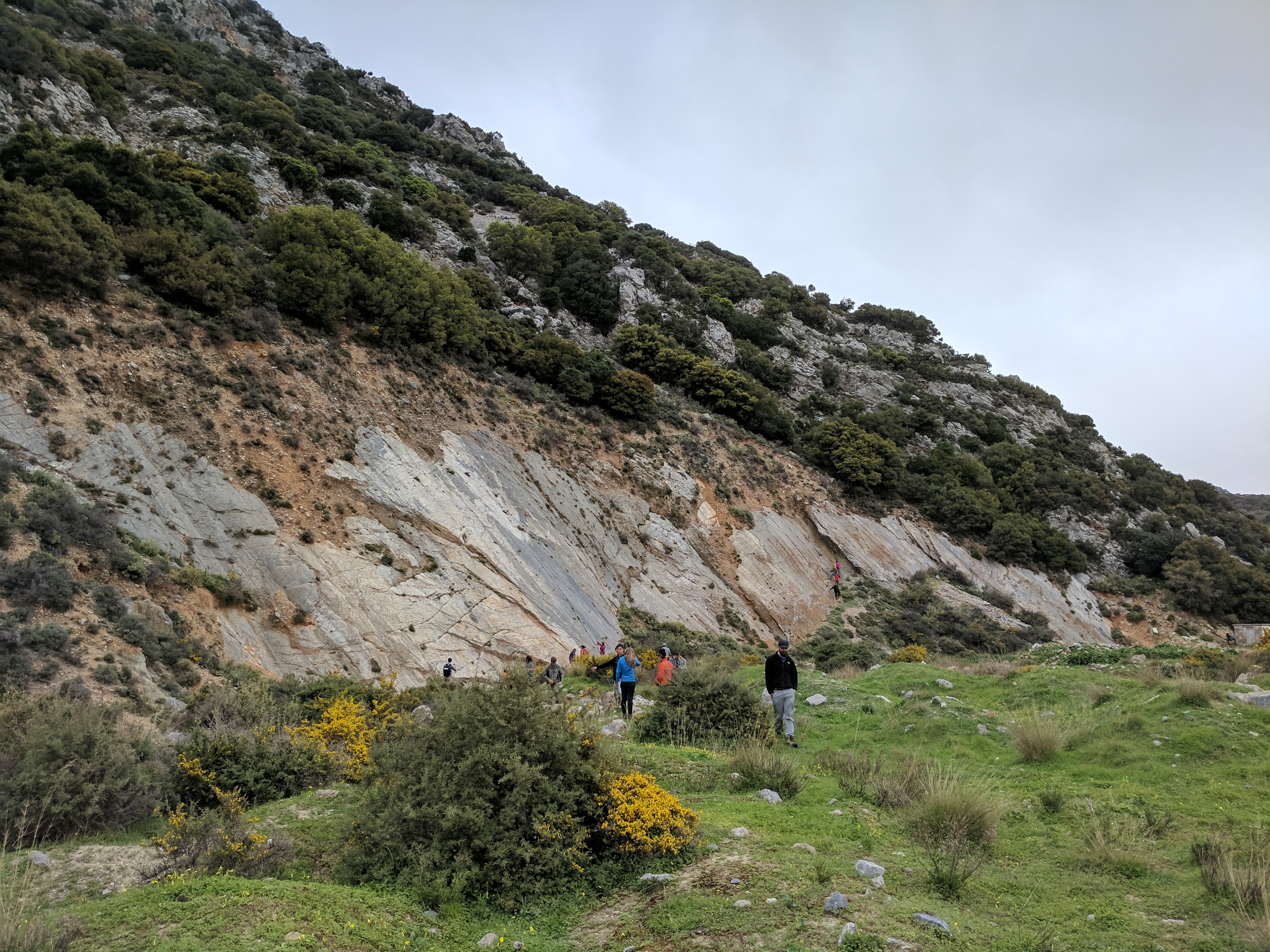
Our last stop was the ophiolite at Gonies, a piece of serpentinized oceanic mantle that is the uppermost nappe of Crete. A 1 km line starting here crosses all the major units of Crete, but (even though it’s the same units) doing the same thing in northern Greece would take over 100 km!
Looking the other way from Gonies. This gorge is the longest in the Psiloritis area, but part of it is in the Heraklion basin and relatively flat. In the distance, we could see the normal faults bounding the Heraklion basin.
-Tyler and Bart
March 28, 2018: Cretan Neotectonics
Concerns about rain and wind in the mountains caused us to rearrange the schedule. Instead of examining structures in the mountains, we skipped a day ahead and looked at geomorphic and neotectonic features along the north central part of Crete, through a gorge in a Neogene extensional basin, and along the southern coast.
The rocks here are complicated! To understand everything we were looking at, we first needed a primer on the rock units and the hypothesized sequence of events. At our first stop, Babis Fassoulas busted out the geologic map for his overview of central Crete. Today, we were concerned with 3 main units: a quartzite-phyllite schist (the QP unit), the Plattenkalk nappe, and the Tripolitsa.

The juxtaposition of these units is hypothesized as follows. First the 30-300 Ma Plattenkalk was deposited. Later it was folded and one limb was over turned. In the same collisional event, the QP unit was thrusted on top of the Plattenkalk group. This puts older rocks on top of younger ones, but with the younger Plattenkalk unit younging downward. Then Miocene extension caused exhumation and a large amount of thinning and extension in the QP unit. Finally the Tripolitsa was deposited on top of these two units. The Tripolitsa shares contacts with both units.
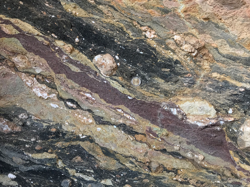
Within the QP unit, the extension caused shear (top to the north) in the phyllite/schist (Stop 1). Local quartz and carbonate layers were stretched into boudins. Preexisting folds from the older compressional event were also extended becoming isoclinal where they can still be made out. The QP unit was dominated by chlorites that replaced the original muscovite. Talc is also likely in this unit given the hardness of the rock, it’s white powdery streak, and very waxy talc-like feel.
Our next stop (Stop 2) was at the Plattenkalk where we observed upside coral fans within the dolomite layer that indicated that the unit was overturned. The beds were stopping gently to the north and once again we observed top to the north sense of shear in S-shaped structures (albeit more subtle than in the followed QP unit).
Then we departed the northern cost and turned south inland into one of the Neogene extensional basin, where we followed one of several isolated half-graben basins in the island’s interior. Here we saw fossils of giant bivalves (Stop 3).
The thought of clams made us all famished, but we continued bravely on to see one more outcrop before lunch (Stop 4). Many of the faults the have accommodated Neogene extension are no longer active, but we had the good fortune to look at a well studied active fault. This fault, called Spili, is known to have had 5 earthquakes of at least M6.0, and more likely M6.5 to M6.7, in the last 16,000 years.
Each earthquake has caused about 1.5 meters of offset. When this occurs, the thin soil horizon comes into contact with a new section of limestone. Soil is rich in rate Earth elements (REEs) compared to limestone, so some of the REEs diffuse into the carbonate at the surface. Researchers have used a profile in REE concentrations across the fault scarp to contain the number of events. Evidence for slip along this surface was apparent from ubiquitous slicken lines.
Then after lunch and a bit of souvenir shopping in the charming mountain village of Spili, we set off again towards the southern coast through an enormous gorge! Here (Stop 5) we took a short stroll down to the creek bed within the limestone cliffs. The karst features (namely caves) were everywhere on the sides of the gorge and in the creek bed. The water seemed to come out of nowhere, draining suddenly into the creek before quickly disappearing into a deep slot canyon. Continued uplift in Crete and rapid incision of the limestone allows for this dramatic gorge to be maintained or to continue to grow.

Our penultimate stop (Stop 6) was on the southern coast at another fault scarp. It was tall and dramatic, but as the weather shifted from overcast to partly sunny, the beautiful blues of the Mediterranean came alive and much of the group decided to take a quick swim. At this location, a careful eye could spot small pumices from the Minoan eruption that found their way to Crete!
Finally, we went to one more sheltered bay to look at a laterally continuous, horizontal notch carved into the limestone.

This feature represents the sea level before the big subduction zone earthquake in 365 AD. Here it was about 1.5 meters above present day sea level. However, in far western Crete the displacement and uplift recorded by this notch is nearly 9 meters in height! At this last outcrop, we already hunted for fossils. Among the more exciting discoveries were two ammonites and a massive deposit of centimeter wide foraminifera.
-Mike and Josh
March 27, 2018: Onward to Crete
Today is a travel day! Yes folks, that means it’s time for more on-the-road photos. I began my day with one last cup of the worlds smoothest yogurt, and one final stroll through beautiful Fira. And I saw something over the buildings…
 The first cruise ship of the season came in! And we got the hell out.
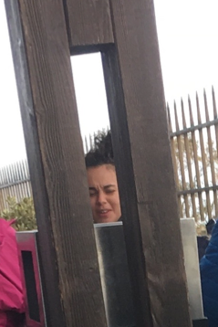
 The students clog up the Santorini airport
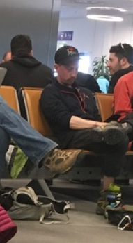
Travel day interlude. Introducing a new section to travel day blogging: stealth profiles! Photos that only a day of travel (and lack of awareness that one is being photographed) can produce. Bonus: Factoids!
 Bart: Loves Greek pseudo-Nutella; can’t find any
 Marissa: In the fourth year of her PhD, and has more to show for her life than this 22-year-old undergrad!
 Josh: Confused by a produce factory
 Mike: He’ll wait.
After gathering up our luggage, it was off to the hotel on a nice cushy bus. This also served as a chance for us to see Heraklion.
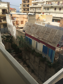 You all know Crack-in-the-ground, Oregon. But do you know Hole-in-the-city-of-Heraklion? A view from a hotel room.
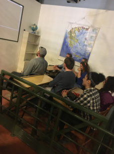
Next up was the Natural History Museum of Crete. First, we went over the itinerary for the next few days. Then we got to learn about the different ecological regions and biomes around the Mediterranean, rock types on Crete and in an unrelated topic, we learned about light. We also got to try out the shake table, an earthquake simulator.
 Where’s the rest of Doug? Who knows, but he’s a geophysicist so the head is what counts.
 Hey kids, what do Japan, Taiwan, and Chile have in common? That’s right—rich cultures!
We ended the night with a delicious group dinner. And group shots. Tomorrow, it’s time to hit the rocks.
 “To the rocks!”
-Dylan and Noah