Concerns about rain and wind in the mountains caused us to rearrange the schedule. Instead of examining structures in the mountains, we skipped a day ahead and looked at geomorphic and neotectonic features along the north central part of Crete, through a gorge in a Neogene extensional basin, and along the southern coast.
The rocks here are complicated! To understand everything we were looking at, we first needed a primer on the rock units and the hypothesized sequence of events. At our first stop, Babis Fassoulas busted out the geologic map for his overview of central Crete. Today, we were concerned with 3 main units: a quartzite-phyllite schist (the QP unit), the Plattenkalk nappe, and the Tripolitsa.

The juxtaposition of these units is hypothesized as follows. First the 30-300 Ma Plattenkalk was deposited. Later it was folded and one limb was over turned. In the same collisional event, the QP unit was thrusted on top of the Plattenkalk group. This puts older rocks on top of younger ones, but with the younger Plattenkalk unit younging downward. Then Miocene extension caused exhumation and a large amount of thinning and extension in the QP unit. Finally the Tripolitsa was deposited on top of these two units. The Tripolitsa shares contacts with both units.
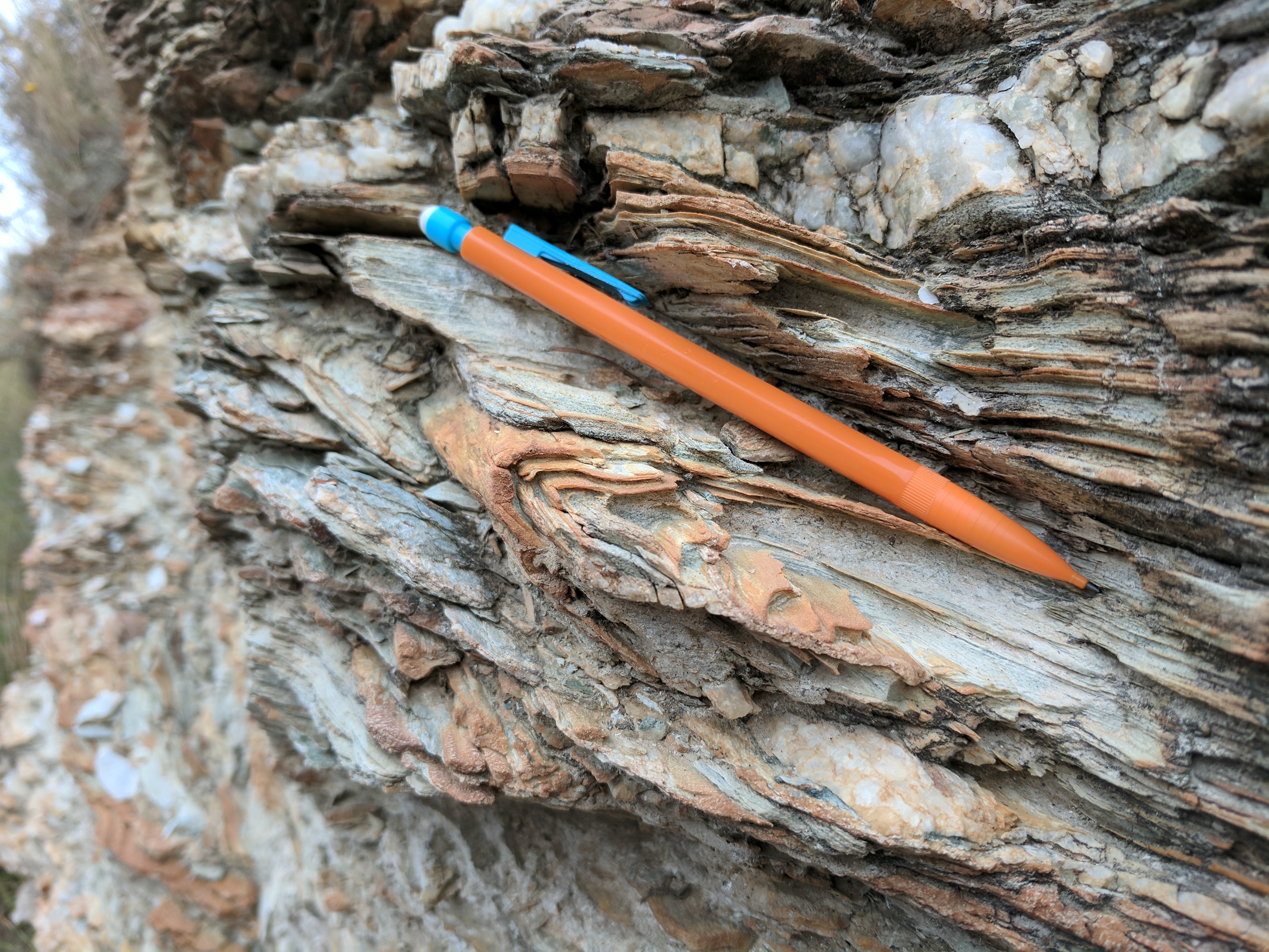
Within the QP unit, the extension caused shear (top to the north) in the phyllite/schist (Stop 1). Local quartz and carbonate layers were stretched into boudins. Preexisting folds from the older compressional event were also extended becoming isoclinal where they can still be made out. The QP unit was dominated by chlorites that replaced the original muscovite. Talc is also likely in this unit given the hardness of the rock, it’s white powdery streak, and very waxy talc-like feel.
Our next stop (Stop 2) was at the Plattenkalk where we observed upside coral fans within the dolomite layer that indicated that the unit was overturned. The beds were stopping gently to the north and once again we observed top to the north sense of shear in S-shaped structures (albeit more subtle than in the followed QP unit).
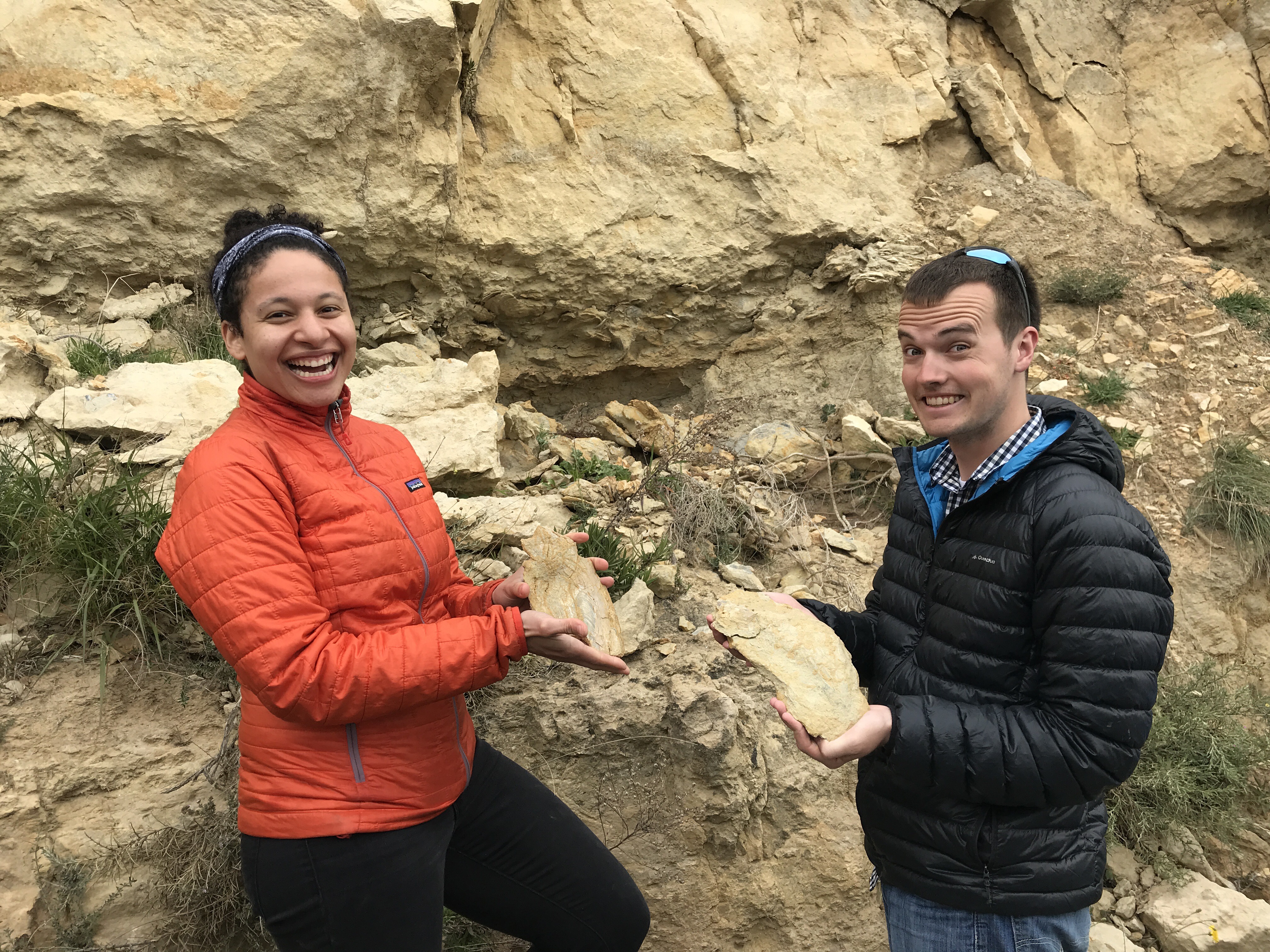
Then we departed the northern cost and turned south inland into one of the Neogene extensional basin, where we followed one of several isolated half-graben basins in the island’s interior. Here we saw fossils of giant bivalves (Stop 3).
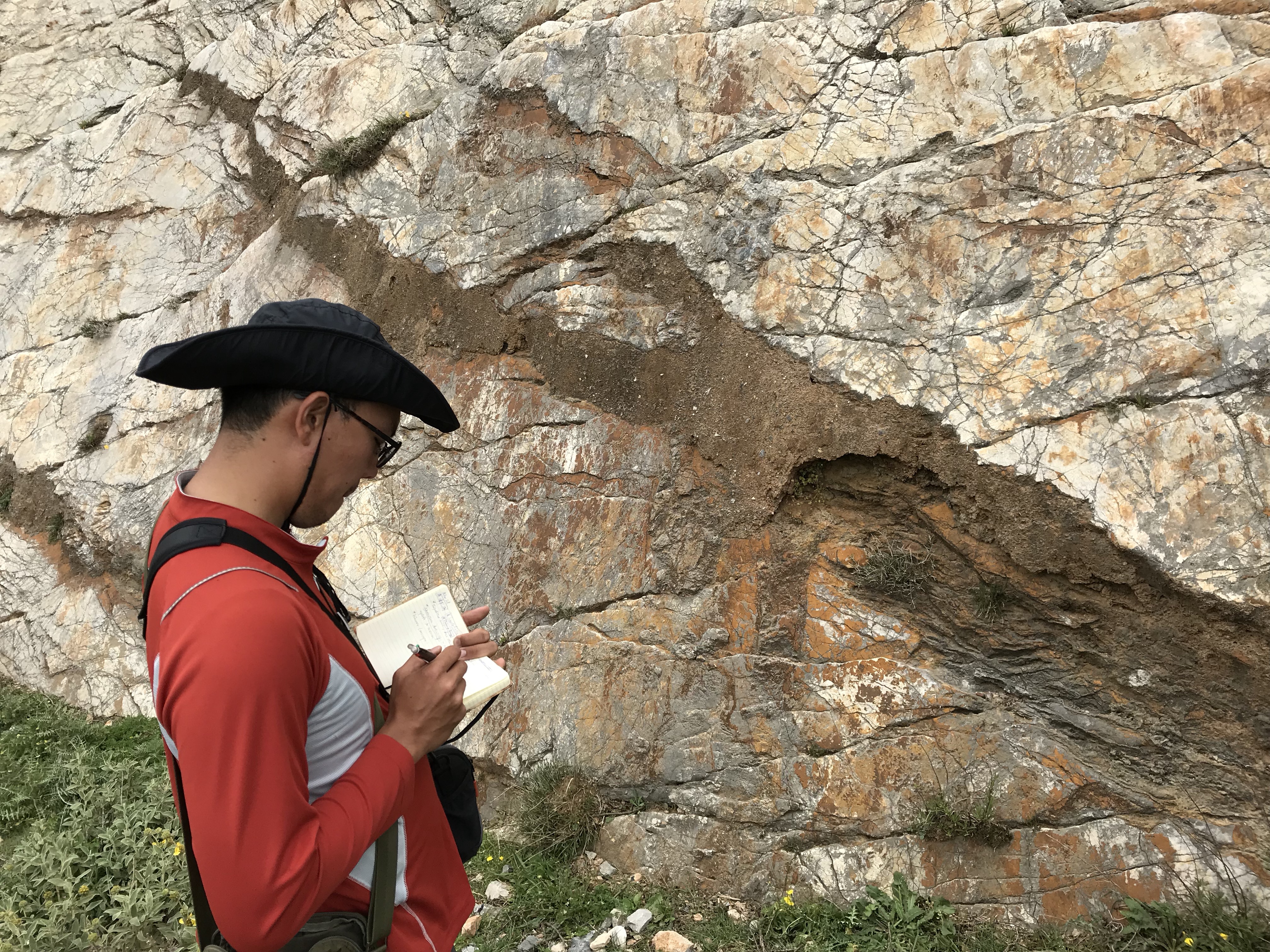
The thought of clams made us all famished, but we continued bravely on to see one more outcrop before lunch (Stop 4). Many of the faults the have accommodated Neogene extension are no longer active, but we had the good fortune to look at a well studied active fault. This fault, called Spili, is known to have had 5 earthquakes of at least M6.0, and more likely M6.5 to M6.7, in the last 16,000 years.
Each earthquake has caused about 1.5 meters of offset. When this occurs, the thin soil horizon comes into contact with a new section of limestone. Soil is rich in rate Earth elements (REEs) compared to limestone, so some of the REEs diffuse into the carbonate at the surface. Researchers have used a profile in REE concentrations across the fault scarp to contain the number of events. Evidence for slip along this surface was apparent from ubiquitous slicken lines.
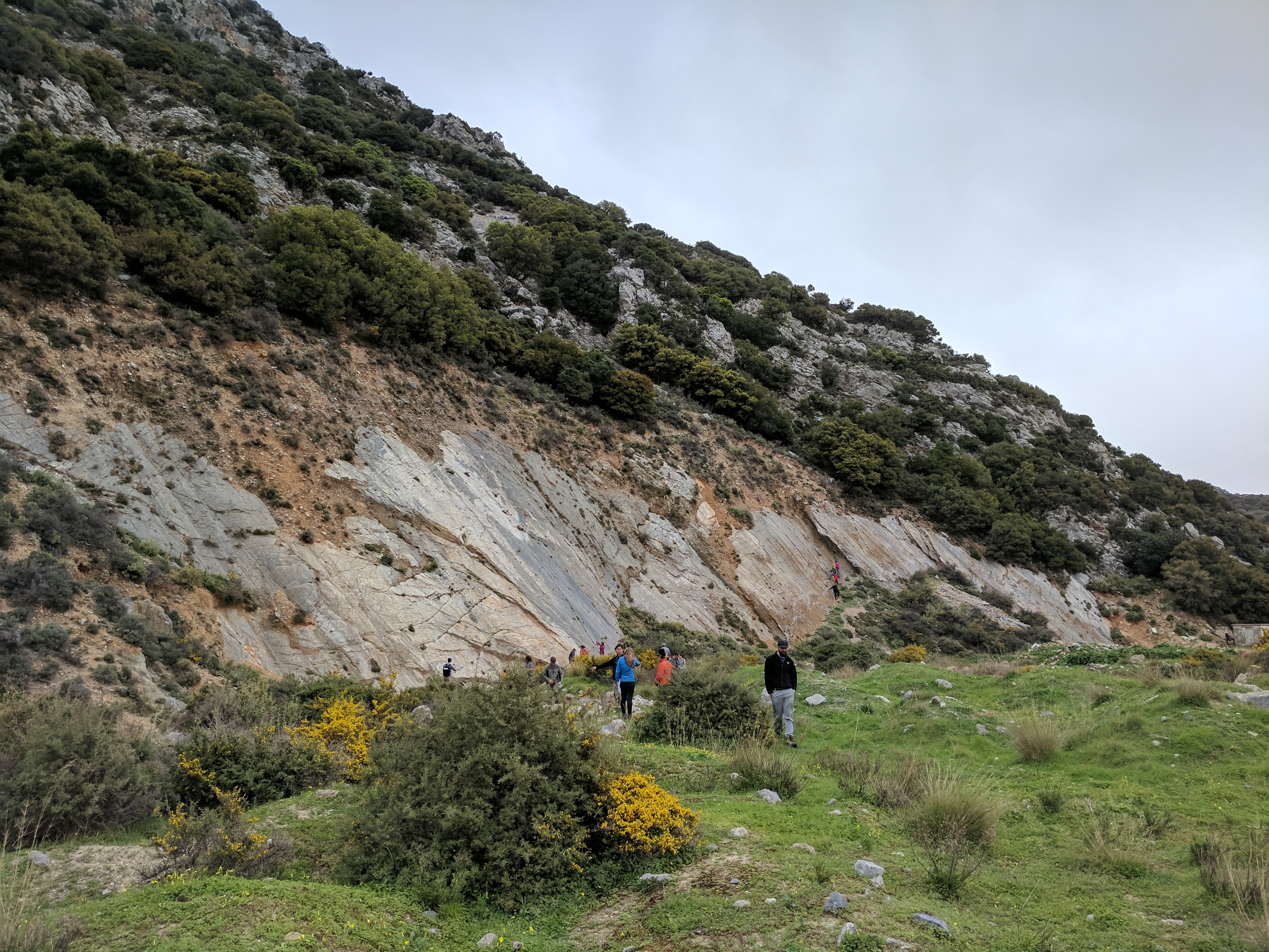
Then after lunch and a bit of souvenir shopping in the charming mountain village of Spili, we set off again towards the southern coast through an enormous gorge! Here (Stop 5) we took a short stroll down to the creek bed within the limestone cliffs. The karst features (namely caves) were everywhere on the sides of the gorge and in the creek bed. The water seemed to come out of nowhere, draining suddenly into the creek before quickly disappearing into a deep slot canyon. Continued uplift in Crete and rapid incision of the limestone allows for this dramatic gorge to be maintained or to continue to grow.

Our penultimate stop (Stop 6) was on the southern coast at another fault scarp. It was tall and dramatic, but as the weather shifted from overcast to partly sunny, the beautiful blues of the Mediterranean came alive and much of the group decided to take a quick swim. At this location, a careful eye could spot small pumices from the Minoan eruption that found their way to Crete!
Finally, we went to one more sheltered bay to look at a laterally continuous, horizontal notch carved into the limestone.

This feature represents the sea level before the big subduction zone earthquake in 365 AD. Here it was about 1.5 meters above present day sea level. However, in far western Crete the displacement and uplift recorded by this notch is nearly 9 meters in height! At this last outcrop, we already hunted for fossils. Among the more exciting discoveries were two ammonites and a massive deposit of centimeter wide foraminifera.
-Mike and Josh