Our field trip started off with a bang! Or rather, with investigating a bang…
We visited Los Alamos, NM (Bombtown USA – home of the Manhattan Project and the Los Alamos National Laboratory) to investigate even bigger bangs – the Bandelier Tuff units that formed the iconic Valles Caldera.
The Jemez Volcanic field is an incredible area that includes the
Pleistocene Valles Caldera, [which is] a well preserved and visually stunning example of a geomorphically ‘pristine’ multicyclic, resurgent caldera. The multiple units of the Bandelier Tuff are the equally illustrative, associated outflow ignimbrite sheets. This combination served as the crucible for many intellectual breakthroughs R.L. Smith and R.A. Bailey that remain foundational elements of our understanding of the geologic relations among large‐scale caldera collapse, voluminous ignimbrites, lateral and vertical variations of welding in such tuffs, internal caldera structures, and post‐caldera volcanism.

El Jefe and Kenzie Turner (USGS) setting the scene with a beautiful Landsat image of the Valles Caldera and Pajarito Plateau

One of the department’s most pre-eminent geophysics students showcases a palagonitized basalt pillow from a flow underlying the oldest Bandelier Tuff member

Behold: The Bandelier Tuff! Grey and orange-pink unit is the younger Tshirege Ignimbrite and initial pumice fall (1.2 Ma, ~300 km^3). The Otowi Ignimbrite of the Banderlier Tuff (1.6 Ma, ~300 km^3) forms the slightly vegetated hillslope. The layered material at the cliff base between the two ignimbrite members is a series of volcanic and sedimentary units collectively known as the Toledo rhyolites.

Clash Of The Titans: UO professors Paul Wallace and Mike Dungan, and USGS project lead Ren Thompson battle it out over whether a part of the Tshirege ignimbrite’s initial plinian pumice fall is reworked or not. Photo by Prof. Marli Miller

Looking at the Bandelier Tuff (Upper Tshirege member, lower Otowi member), distant building of Los Alamos, and the Jemez Mtns – source of the Bandelier
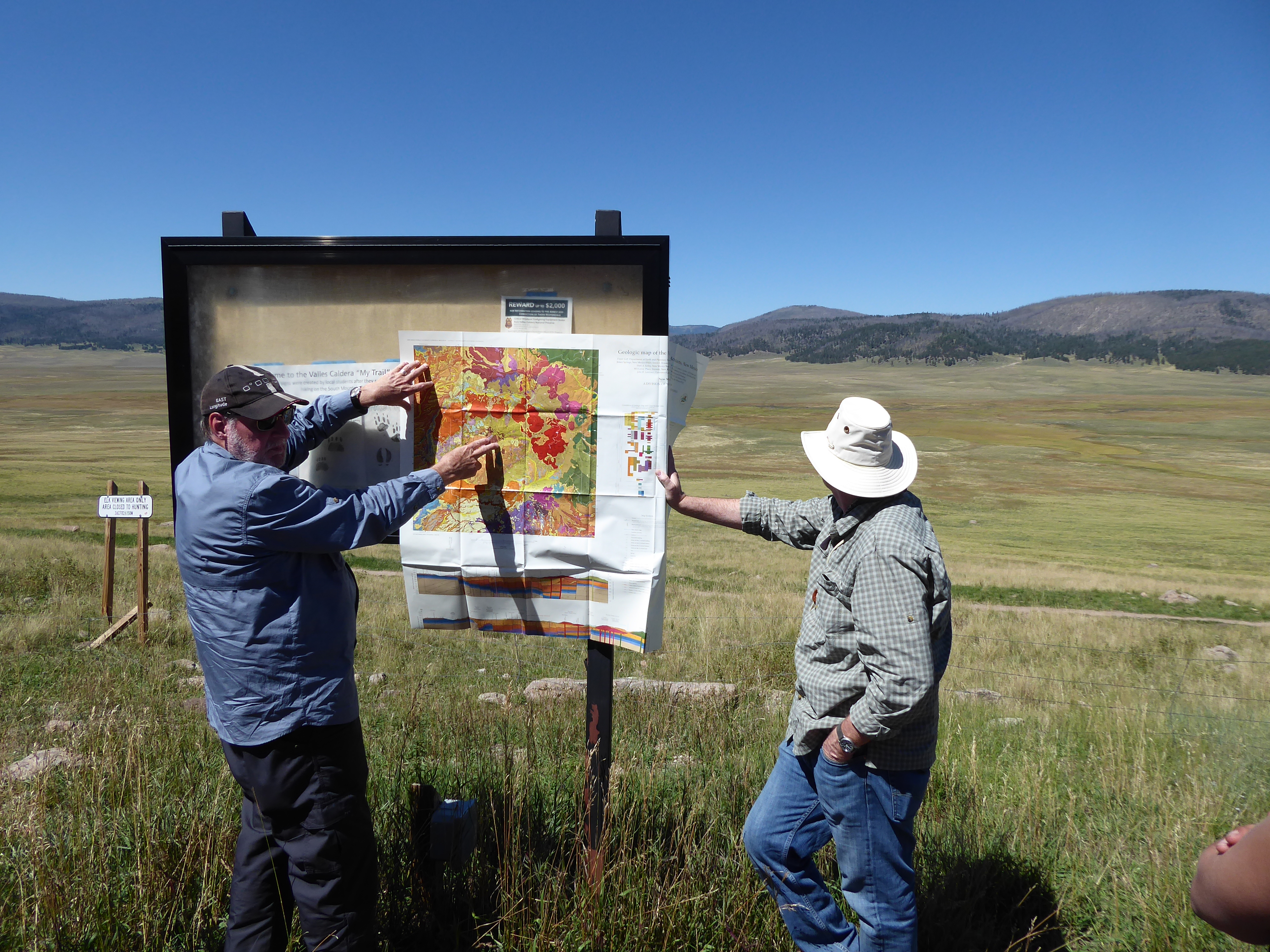
Mike Dungan and Ren Thompson (USGS) explaining the vastness of the Valles Caldera. The giant meadow in the background is only about 1/3 of the entire caldera
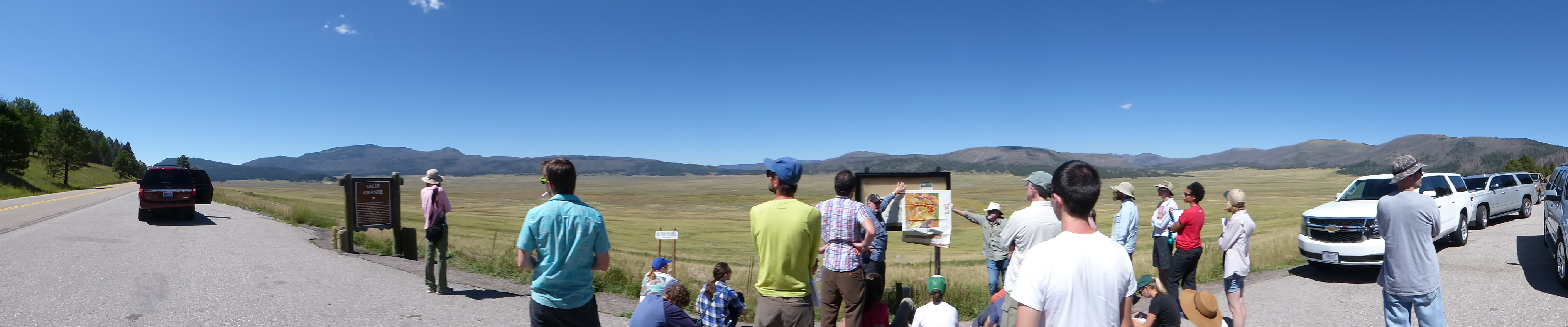
Panorama of the Valles Grande, on the south side of the much larger Valles Caldera
If you want to know more about the Valles history and current state of affair, below is a link to a fun “Story Map” of the Valles Caldera from ESRI: