#4 ASSIGNMENT FOR FRIDAY: PROJECT MAPS + DOCUMENTATION
2 person project
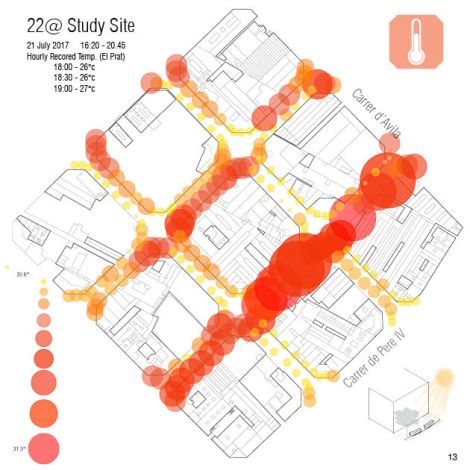
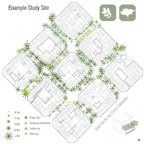
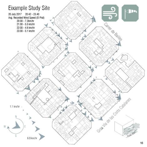
- Image on-site highlighting the qualities that you are looking at- zoomed in quality as stills and video! (capture yourself preferably or downloaded and cited). Precedent project image highlighting the qualities that you are looking at. (High or Low)
- Think about baseline data collection – location on campus or not to relate your data.
- Use the GIS VIZ tool to create 2D plans of each quality/indicator. Plan, name, icon, scale/data dictionary. **You will need to use the ‘GIS VIZ TOOL.3dm’ rhino file and the ‘GIS VIS TOOL_VERSION 9_SOJC.gh’ grasshopper file, and in grasshopper clear values and reset the OSM and CSV “file path” components in the red boxes.
- Use the Canvas file “Student_Data_Template SOJC” which I already extracted the LAT and LONG points for SOJC site for you from the Google My Maps.


- blog category [04 Project Maps]
Class documentation
- Post your work 11×17 (1-2 pages)
- blog category [02 GROUP SITE ANALYSIS]
Review 01 DOCUMENTATION on Google Drive
