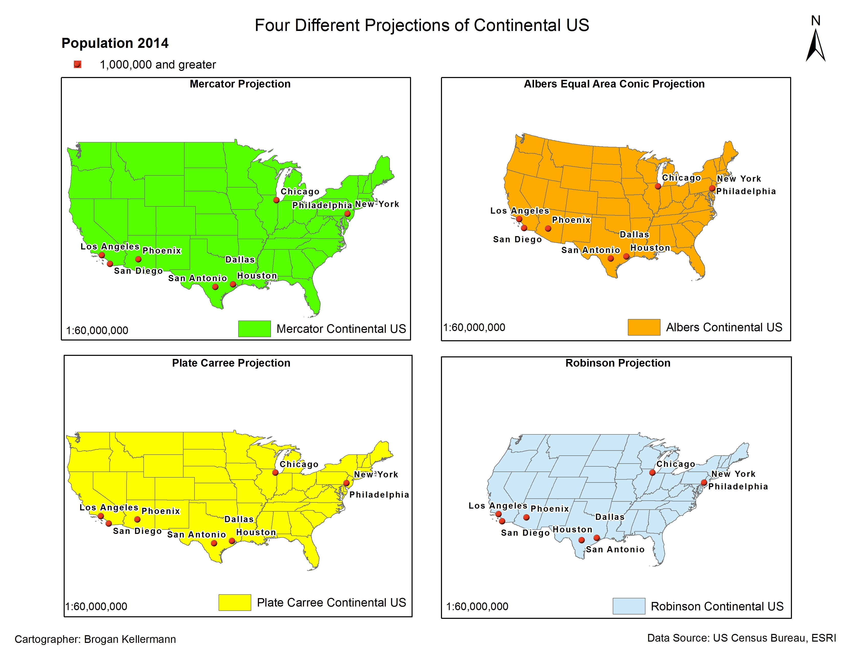
This image shows four different map projections of the continental United States, utilizing key cities to emphasize the different sizes and shapes that result from each projection. Each map is a presented on a scale of 1:60,000,000.
Just another University of Oregon Sites site
This image shows four different map projections of the continental United States, utilizing key cities to emphasize the different sizes and shapes that result from each projection. Each map is a presented on a scale of 1:60,000,000.
ontinental United States, utilizing key cities to emphasize the different sizes and shapes that result from each projection. Each map is a presented on a scale of 1:60,000,000.
altyazılı film izle
mak için önemli şehirleri kullanan Amerika Birleşik Devletleri kıtasının dört farklı harita projeksiyonunu göstermektedir. Her harita 1:60.000.000 ölçeğinde sunulur. agario unblocked
n önemli şehirleri kullanan Amerika Birleşik Devletleri kıtasının dört farklı harita projeksiyonunu göstermektedir. Her harita 1:60.000.000 ölçeğinde sunulur. metin2 pvp serverler
emli şehirleri kullanan Amerika Birleşik Devletleri kıtasının dört farklı harita projeksiyonunu göstermektedir. Her harita 1:60.000.000 ölçeğinde sunulur. metin2 pvp serverler
Thank you for the information.
The following are recommendations for the #1 Trusted Indonesian Server Site and guaranteed by JP Besar.
For further information please visit the website below.
https://kaumjp.org/
Great website you have here. It’s hard to find high-quality writing like yours these days. Thank you for your articles. I find them very helpful. I really appreciate people like you! Take care and have a great day ahead!!
Karya Bintang Abadi