
Danger Zone


Some points from our reviewers:
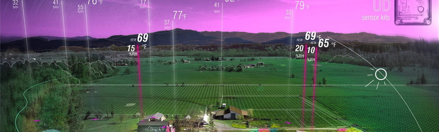
- Take more data – different times throughout the day, different days (weekdays vs weekends), and remember that COVID may change these trends. Animation between night and day would be helpful and illustrative of our indicators.
- Consider how defensive infrastructure (Cameras, barbed wire, etc.) correlates with indicators.
- Make sure that colors are coordinated across the project, and consider different ways of representing composite data. In particular, the colors of the lines on our composite map were confusing.
Plans to move foreword:
- Take more data over different times of day, focus on downtown location with a higher resolution of points. Look at security infrastructure.
- Organize and standardize drawings, make them relate to one another, call out location of perspective view in axon map.
- Decide on deliverables – we are thinking it would be helpful to animate between night and day and show more / better perspective views.