
Street Crime
Street Crime

By Savannah Sinowitz and Nick Stanek
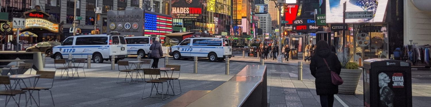
Many small business owners in Eugene have claimed to be plagued with vandalism, property crimes and overall criminal mischief that is negatively impacting their ability to run profitable companies. Some of the events have been so severe that the businesses were forced to close to repair damage. One of the most notable incidents occurred at Elk Horn Brewery on Oct. 15 and Nov. 15th of 2019, where vandals threw a lit cocktail bomb into the restaurant. Recently, a group of business owners organized to create the group “Eugene Wake Up,” a non-partisan collective that is dedicated to making changes in the community that will lead to enhanced safety standards. The website explains that they are lobbying for more police presence and steps to be taken to protect their businesses. They also work to document all of the incidents that occur on the property of Eugene’s small business, and many are citing the homeless population as the source of their troubles. It should be noted that the group has made questionable statements regarding the homeless population as it relates to acts of vandalism, violence and drug use. However, whether or not a particular population is responsible for the criminal acts, it is possible to take a sample of the urban context affected and measure the data of the physical attributes to see if a correlation exists between enhanced safety standards and preventing crime in local businesses while avoiding placing needless blame on a particular group or demographic.
We will focus our research on a small primarily commercial area of the Santa Clara neighborhood where the crime data shows a hotspot. If we were to measure physical indicators such as lighting, visibility from the street, outdoor seating and density and compare that data to the crime index over the past five years, it would be possible to show a pattern over time of where the crimes are committed and what kinds of physical attributes are common.
News Articles:
KVAL, Stephanie Rothman for. “Eugene Business Owners Share Impact of Chronic Street
Crime: ‘A Level of Lawlessness’.” KVAL, KVAL, 8 Nov. 2019,
kval.com/news/local/eugene-business-owners-share-impact-of-chronic-street-crime-a-le
Parafiniuk-Talesnick, Tatiana. “Businesses ‘Wake Up,’ Few Agree on Fixes to Eugene’s
Complex Issues, like Vandalism and Lawlessness.” Guard, The Register-Guard, 9 Mar.
2020,
Infographics:

Yale.co.uk

https://learncctv.com/security-tips-for-small-businesses/
Relevant Theories Discussed in Class:
Nabian, Nashid, et al. Data Dimension: Accessing Urban Data and Making It Accessible. 1 Jan. 1970, www.semanticscholar.org/paper/Data-dimension:-accessing-urban-data-and-making-it-Nabian-Offenhuber/9ceea2e040340ebda48583737f2dd41530c01fa0.
Speranza, P. (n.d.). Social “Coding:” Urban Processes and Socio-Computational Workflow. Retrieved 2020, from https://static1.squarespace.com/static/59d11d5f32601e11ca65b91f/t/5a5380a1c830256b61c3c58c/1515421907444/Social_Code_FULL+PAPER.pdf
Speranza, P. (2016). “Social Interaction and Cohesion Tool: Integrating Socio-Computational Design in Urban Ecology for Barcelona’s Superilles,. Retrieved 2020, from https://lcabcn2016uo.files.wordpress.com/2016/06/philipsperanza_socialinteractionandcohesiontool.pdf
Video of Interview: https://www.facebook.com/watch/?v=2084196838357803
Video of Problem: https://youtu.be/wzaLOZPEBVw?t=36
Data Dictionary:
Street Crime
Hypothesis: It is possible that the physical attributes that contribute to perceived safety factors could influence whether or not a business or property is more likely to be the location of a crime
| Nick & Savannah | ||
| 1 | Human Interaction | Crime Location |
| 2 | Environmental | Lighting |
| 3 | Architecture / Infrastructure | Outdoor Seating |
| 4 | Architecture / Infrastructure | Density |
| 5 | Architecture / Infrastructure | Visibility |
Location : We chose an area in Santa Clara along River Road for its crime rate, commercial use, and (relative) density. The area of study ranges from Federal lane in the north to Santa Clara avenue in the south.

Indicator maps:

Lighting

Seating

occupancy

Visibility
Precedents:
https://giorgialupi.wordpress.com/2012/05/12/maps-of-babel/

This precedent is valuable because it clearly explains the data over a period of time. The contrast in the visual itself is helpful to the viewer.
http://www.radicalcartography.net/index.html?slavery

This precedent is great because the website linked below has the maps over time, so if you hover the mouse over the links to the right of the page, you start to see a change-over-time animation of the map.
Timeline: We will analyze the location data and associated crime statistics for the past 5 years within our selected area of the Santa Clara neighborhood. This will give us enough data to understand whether or not a relationship could exist.
Good context.
Focus on drawings now! All three of you.
Refocus the idea of ownership and crime.
Dont dwell on the theory part.
Focus on data.