Komers, Matous – 1.2 Reading Response
In “Data Dimension: Accessing Urban Data and Making it Accessible,” it seems the most prominent argument consisted of the fact that data is currently being used almost as if it were in a vacuum. It is filtered out to be easier to use or to reach a specific outcome and thus mutates based on the people reading it as well as collecting it. Ultimately, it becomes disconnected from its causes and effects, and thus much less revealing or useful.
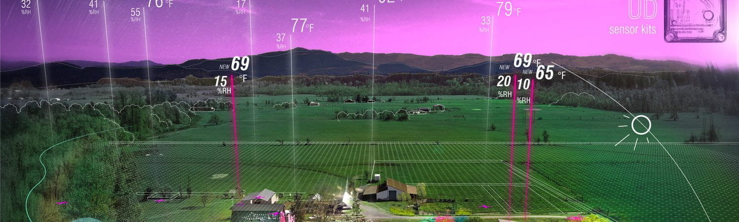
Therefore, it is important to cross-reference the datasets that are involved in each scenario or system, while varying their inputs and sources. What struck me the most in the article was not only how the data was used, but also displayed graphically. These representations did not only include the results themselves, but also where the findings came from and how data and information involved in the process moves through its network and the world.
“Food, Time and Space: Mobile Cuisine in New York and Portland” demonstrated how the city, its regulations and its people impact the way mobile cuisine is conducted around the World. For example, New York food trucks are more effervescent, since there are stricter regulations for parking and sales. This forces owners to be able to move at a moments notice and own a generator and personal water supplies, which is probably why New York has more food trucks than food carts. Portland on the other hand has more food carts, which are usually stationary because the city government tries to get out of their way and enable them to form a stable and permanent location. My aunt and uncle owned a food cart in Portland for 13 years, and they always highlighted the fact that they could have a stable location with regular customers returning to see them as a reason for their longevity. It is clear to see how the city’s written regulations manifest themselves in tangible urban elements and ultimately shape the character of each city.
“Social ‘Coding:’ Urban Processes and Socio-Computational Workflow” most stood out to me because it delves deeper into data and its grainier details. Data in urban areas most often consists of large-scale census surveys or demographic information, which does not find nuances of specific places or environments. It was very intriguing to see the results yield findings at the scale of an urban room, which can be much more informative for specific design problems and the socio-economic factors that contribute to them. For example, I know from reading, which is supported by personal experience, that the layout and orientation of food carts in Portland reflects the sense of place and atmosphere of where they are located, especially when studying the West side versus East. While these patterns make sense, I would be interested to see how these phenomena extend to other issues.
“Parametric Methods and Place,” ultimately details some examples of how students have studied certain phenomena in a multi-faceted and interdisciplinary way. By using grasshopper and CSV spreadsheets, it is possible to design personalized data sets with varied inputs, instead of relying on GIS or CityEngine data which can be constricting, one-dimensional and incomplete. By designing the system for the necessary data, it becomes easier to hone in on the intangible qualities of a place and manifest them in a tangible, effective design intervention.